Candoni night lights from space
Night Light of Candoni (Western Visayas) from space (Philippines) Src. Average luminocity for 10x10km area is 0.2532% and for 50x50km: 0.7294%.
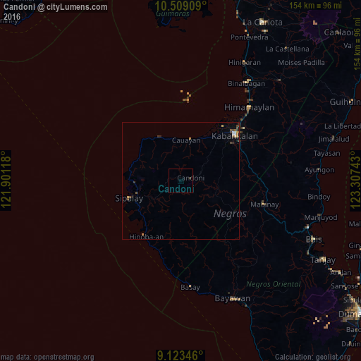
Analysis of Candoni night lights 2016
Square area 10x10 km:
 0%
0%90-99
0%80-89
0%70-79
0%60-69
0%50-59
0%40-49
0%30-39
0%20-29
0.87%10-19
0%0-9
99.13%Square area 50x50 km:
0.05%90-99
0.08%80-89
0.08%70-79
0.13%60-69
0.07%50-59
0.15%40-49
0.21%30-39
0.18%20-29
0.1%10-19
0.07%0-9
98.89%Clear (daylight) street map image can be seen on geolist.org.
Map coordinates:
10° 30' 32.7" North, 121° 54' 4.2" East
9° 49' 1.2" North, 122° 36' 15.5" East
9° 7' 24.5" North, 123° 18' 26.7" East
Some cities around Candoni sort by population:
• Guiljungan
19.7 km =12.2 mi,  22°
22°
• Tuyum
18.5 km =11.5 mi,  344°
344°
• Inayauan
20.8 km =12.9 mi,  296°
296°
• Cawayan
17.4 km =10.8 mi,  7°
7°
• Tabu
14.3 km =8.9 mi,  54°
54°
• Canturay
16.6 km =10.3 mi,  261°
261°
• Camindangan
11.6 km =7.2 mi, 13°
• Manlucahoc
14.5 km =9 mi,  233°
233°
1719246 (p: 6,191)
Sources (retrieved 2019-11-25):
» Earth at Night: Flat Maps 2012, 2016