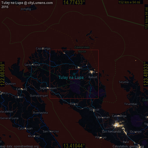
Tulay na Lupa night lights from space
Night Light of Tulay na Lupa (Bicol) from space (Philippines) Src. Average luminocity for 10x10km area is 0.0043% and for 50x50km: 0.3999%.
Analysis of Tulay na Lupa night lights 2016
Square area 10x10 km:
 0%
0%90-99
0%80-89
0%70-79
0%60-69
0%50-59
0%40-49
0%30-39
0%20-29
0%10-19
0%0-9
100%Square area 50x50 km:
0%90-99
0%80-89
0.01%70-79
0.09%60-69
0.03%50-59
0.08%40-49
0.26%30-39
0.19%20-29
0.13%10-19
0.02%0-9
99.2%Clear (daylight) street map image can be seen on geolist.org.
Map coordinates:
14° 46' 27.6" North, 122° 4' 59.1" East
14° 5' 36.2" North, 122° 47' 10.3" East
13° 24' 37.6" North, 123° 29' 21.6" East
Some cities around Tulay na Lupa sort by population:
• Daet
18.4 km =11.4 mi,  83°
83°
• Jose Pañganiban
24.2 km =15 mi,  335°
335°
• Labo
8.2 km =5.1 mi,  35°
35°
• Vinzons
15.8 km =9.8 mi,  55°
55°
• Paracale
20.8 km =12.9 mi,  0°
0°
• Talisay
15.4 km =9.6 mi,  72°
72°
• Basud
19.5 km =12.1 mi,  99°
99°
• Batobalane
16 km =9.9 mi,  345°
345°
1680848 (p: 5,693)
Sources (retrieved 2019-11-25):
» Earth at Night: Flat Maps 2012, 2016