Daet night lights from space
Night Light of Daet (Bicol) from space (Philippines) Src. Average luminocity for 10x10km area is 6.6775% and for 50x50km: 0.3549%.
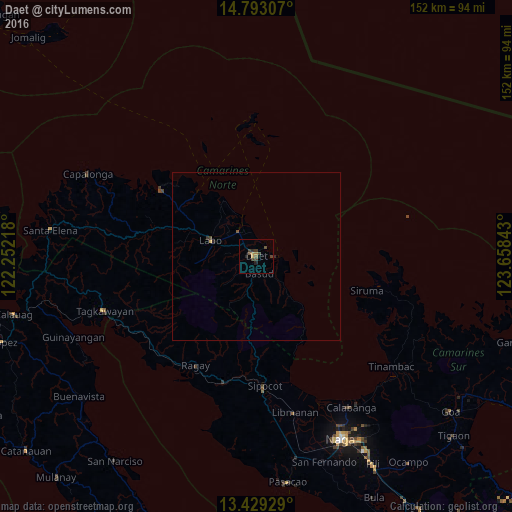
Analysis of Daet night lights 2016
Square area 10x10 km:
 0%
0%90-99
0%80-89
0%70-79
1.73%60-69
0.87%50-59
0.87%40-49
4.55%30-39
3.03%20-29
1.52%10-19
0.43%0-9
87.01%Square area 50x50 km:
0%90-99
0%80-89
0.01%70-79
0.09%60-69
0.03%50-59
0.07%40-49
0.2%30-39
0.16%20-29
0.13%10-19
0.02%0-9
99.3%Clear (daylight) street map image can be seen on geolist.org.
Map coordinates:
14° 47' 35.1" North, 122° 15' 7.8" East
14° 6' 43.9" North, 122° 57' 19.1" East
13° 25' 45.4" North, 123° 39' 30.3" East
Some cities around Daet sort by population:
• Labo
14.2 km =8.8 mi,  288°
288°
• Mercedes
6 km =3.7 mi,  93°
93°
• Vinzons
8.6 km =5.3 mi,  322°
322°
• Paracale
26 km =16.2 mi, 316°
• Talisay
4.3 km =2.7 mi,  304°
304°
• Tulay na Lupa
18.4 km =11.4 mi,  263°
263°
• Basud
5.3 km =3.3 mi,  169°
169°
• Batobalane
25.9 km =16.1 mi, 301°
1716287 (p: 78,142)
Sources (retrieved 2019-11-25):
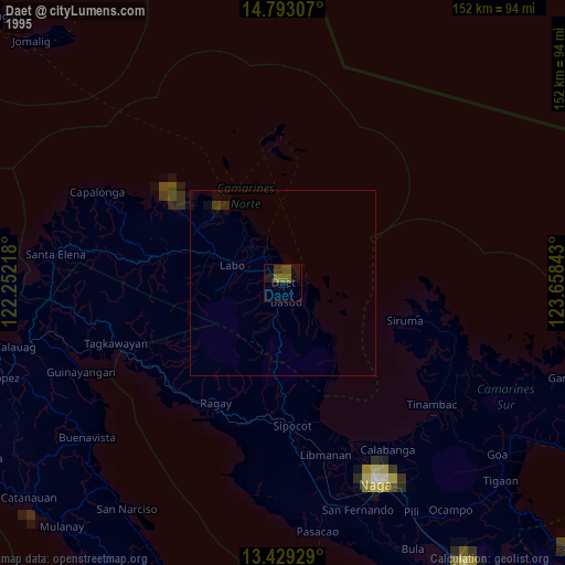
» NASA, Earths city lights 1995
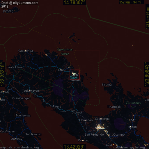
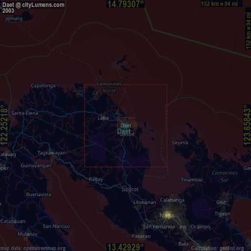
» NASA city lights 2003
» Earth at Night: Flat Maps 2012, 2016