Sorsogon night lights from space
Night Light of Sorsogon (Bicol) from space (Philippines) Src. Average luminocity for 10x10km area is 8.2641% and for 50x50km: 0.5945%.
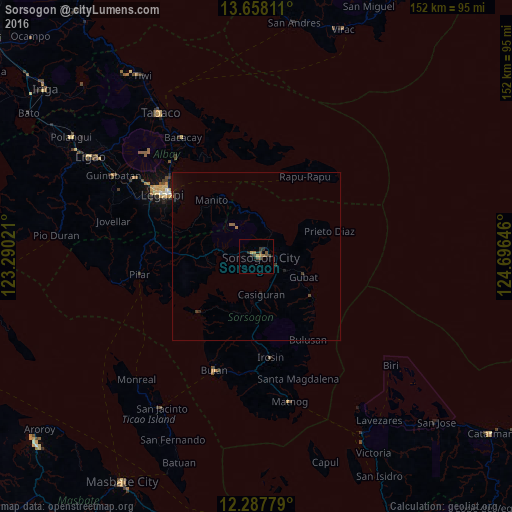
Analysis of Sorsogon night lights 2016
Square area 10x10 km:
 0%
0%90-99
0%80-89
0.65%70-79
2.38%60-69
1.3%50-59
1.73%40-49
3.9%30-39
1.73%20-29
2.6%10-19
0.43%0-9
85.28%Square area 50x50 km:
0%90-99
0%80-89
0.03%70-79
0.13%60-69
0.08%50-59
0.12%40-49
0.24%30-39
0.14%20-29
0.16%10-19
0.2%0-9
98.9%Clear (daylight) street map image can be seen on geolist.org.
Map coordinates:
13° 39' 29.2" North, 123° 17' 24.8" East
12° 58' 26" North, 123° 59' 36" East
12° 17' 16" North, 124° 41' 47.3" East
Some cities around Sorsogon sort by population:
• Gubat
15.3 km =9.5 mi,  112°
112°
• Bangkirohan
28.2 km =17.5 mi,  288°
288°
• Casiguran
11.3 km =7 mi,  170°
170°
• Balete
6.5 km =4 mi,  39°
39°
• Rizal
8.6 km =5.3 mi,  272°
272°
• Bulusan
28.5 km =17.7 mi,  151°
151°
• Cumadcad
22.1 km =13.7 mi, 271°
• Bacon
8.8 km =5.5 mi, 36°
1685755 (p: 82,730)
Sources (retrieved 2019-11-25):
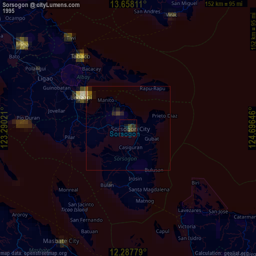
» NASA, Earths city lights 1995
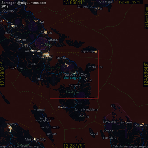
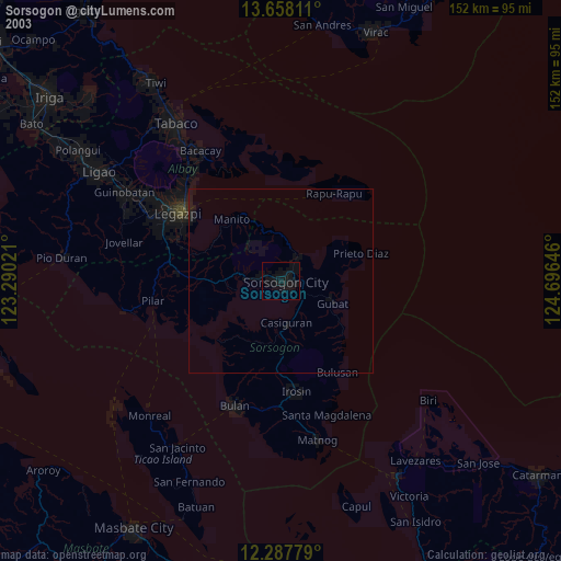
» NASA city lights 2003
» Earth at Night: Flat Maps 2012, 2016