Balete night lights from space
Night Light of Balete (Bicol) from space (Philippines) Src. Average luminocity for 10x10km area is 4.1147% and for 50x50km: 0.4913%.
Analysis of Balete night lights 2016
Square area 10x10 km:
 0%
0%90-99
0%80-89
0%70-79
1.3%60-69
0.87%50-59
0.87%40-49
1.95%30-39
1.08%20-29
1.3%10-19
0.43%0-9
92.21%Square area 50x50 km:
0%90-99
0%80-89
0.03%70-79
0.11%60-69
0.08%50-59
0.12%40-49
0.22%30-39
0.14%20-29
0.16%10-19
0.06%0-9
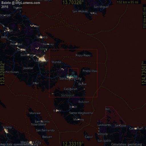
99.08%Clear (daylight) street map image can be seen on geolist.org.
Map coordinates:
13° 42' 11.7" North, 123° 19' 43.8" East
13° 1' 9" North, 124° 1' 55" East
12° 19' 59.5" North, 124° 44' 6.3" East
Some cities around Balete sort by population:
• Sorsogon
6.5 km =4 mi,  219°
219°
• Gubat
14.8 km =9.2 mi,  137°
137°
• Bangkirohan
31.1 km =19.3 mi,  277°
277°
• Casiguran
16.4 km =10.2 mi,  188°
188°
• Rizal
13.6 km =8.5 mi,  249°
249°
• Bulusan
31.5 km =19.6 mi,  162°
162°
• Cumadcad
26.6 km =16.5 mi,  260°
260°
• Bacon
2.3 km =1.4 mi,  25°
25°
1728248 (p: 8,588)
Sources (retrieved 2019-11-25):
» Earth at Night: Flat Maps 2012, 2016