Sipalay night lights from space
Night Light of Sipalay (Western Visayas) from space (Philippines) Src. Average luminocity for 10x10km area is 2.4502% and for 50x50km: 0.1323%.
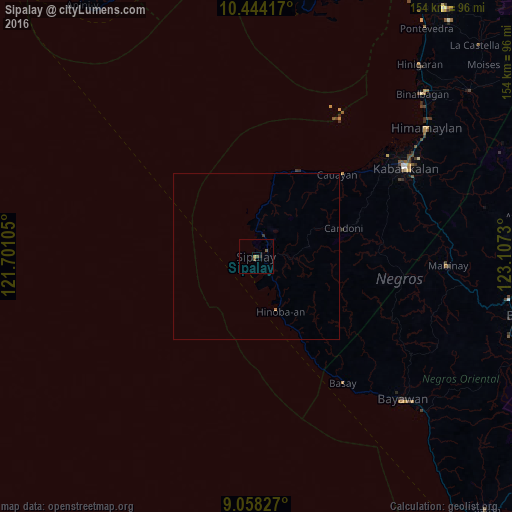
Analysis of Sipalay night lights 2016
Square area 10x10 km:
 0%
0%90-99
0%80-89
0.65%70-79
0.22%60-69
0%50-59
1.73%40-49
0.87%30-39
0%20-29
0.22%10-19
0.65%0-9
95.67%Square area 50x50 km:
0%90-99
0%80-89
0.03%70-79
0.01%60-69
0.03%50-59
0.07%40-49
0.03%30-39
0.03%20-29
0.01%10-19
0.03%0-9
99.77%Clear (daylight) street map image can be seen on geolist.org.
Map coordinates:
10° 26' 39" North, 121° 42' 3.8" East
9° 45' 7" North, 122° 24' 15" East
9° 3' 29.8" North, 123° 6' 26.3" East
Some cities around Sipalay sort by population:
• Asia
25.5 km =15.8 mi,  151°
151°
• Inayauan
16.8 km =10.4 mi,  11°
11°
• Bacuyangan
14.8 km =9.2 mi, 149°
• Nabulao
11.6 km =7.2 mi, 149°
• Candoni
23.1 km =14.4 mi,  71°
71°
• Bulata
12 km =7.5 mi,  358°
358°
• Canturay
7.2 km =4.5 mi,  49°
49°
• Manlucahoc
10.4 km =6.5 mi,  97°
97°
1686102 (p: 24,029)
Sources (retrieved 2019-11-25):
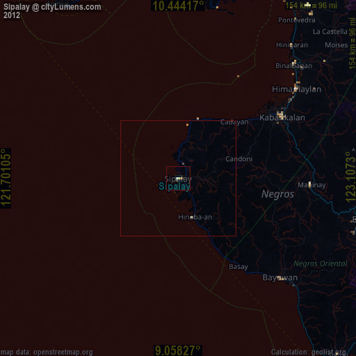
» Earth at Night: Flat Maps 2012, 2016