Pio night lights from space
Night Light of Pio (Central Luzon) from space (Philippines) Src. Average luminocity for 10x10km area is 4.1116% and for 50x50km: 14.5605%.
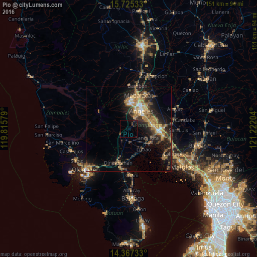
Analysis of Pio night lights 2016
Square area 10x10 km:
 0%
0%90-99
0%80-89
0%70-79
0.41%60-69
0%50-59
0.41%40-49
1.86%30-39
1.86%20-29
0.83%10-19
4.55%0-9
90.08%Square area 50x50 km:
0.91%90-99
1.08%80-89
1.14%70-79
3.6%60-69
3.83%50-59
1.55%40-49
2.8%30-39
2.63%20-29
5.03%10-19
9.63%0-9
67.79%Clear (daylight) street map image can be seen on geolist.org.
Map coordinates:
15° 43' 31.2" North, 119° 48' 56.8" East
15° 2' 50.7" North, 120° 31' 8.1" East
14° 22' 2.4" North, 121° 13' 19.3" East
Some cities around Pio sort by population:
• Manibaug Pasig
7.3 km =4.5 mi,  42°
42°
• Porac
3.6 km =2.2 mi, 43°
• Babo-Pangulo
4 km =2.5 mi,  356°
356°
• San Roque Dau First
10 km =6.2 mi,  141°
141°
• Pulungmasle
6.7 km =4.2 mi, 141°
• San Basilio
7.2 km =4.5 mi,  102°
102°
• Pulung Santol
4.6 km =2.9 mi,  92°
92°
• Calibutbut
11.3 km =7 mi,  48°
48°
1693401 (p: 24,345)
Sources (retrieved 2019-11-25):
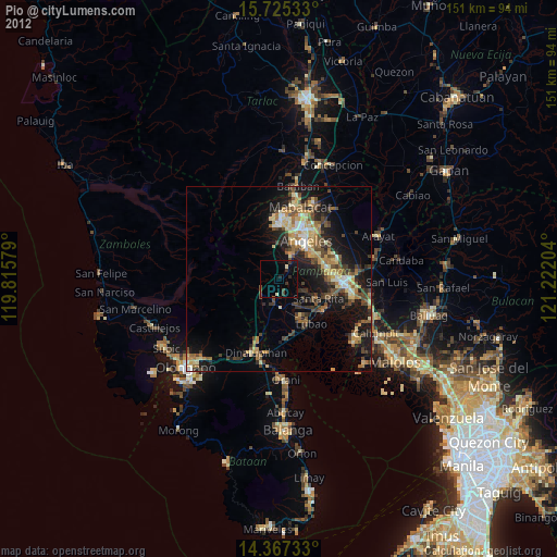
» Earth at Night: Flat Maps 2012, 2016