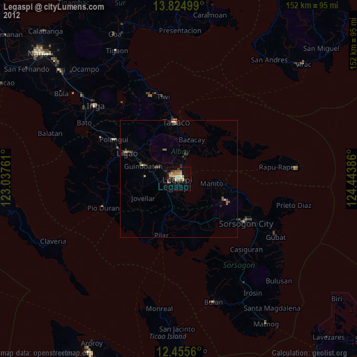
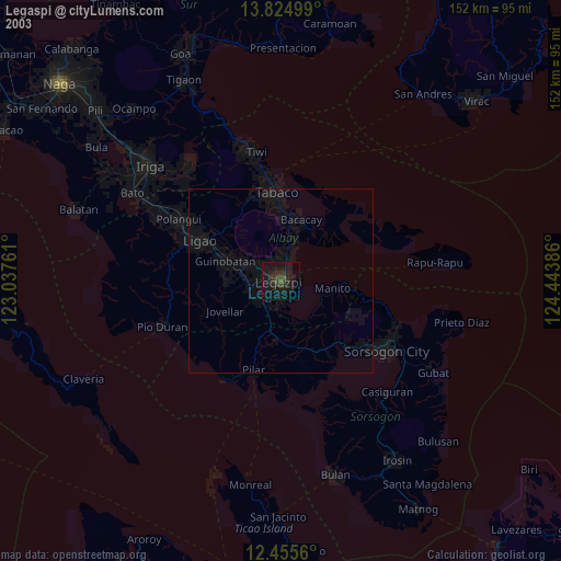
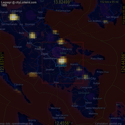
Legaspi night lights from space
Night Light of Legaspi (Bicol) from space (Philippines) Src. Average luminocity for 10x10km area is 27.842% and for 50x50km: 2.1631%.
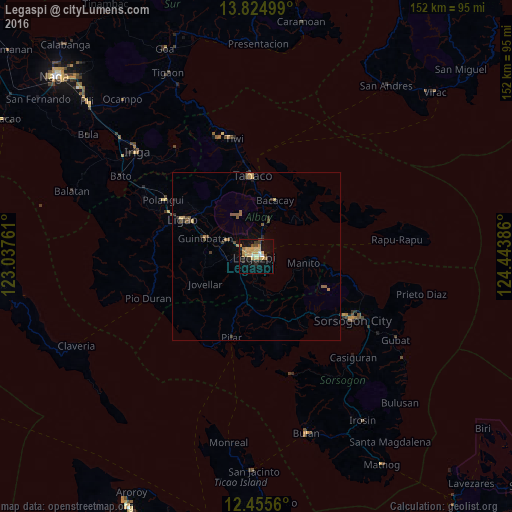
Analysis of Legaspi night lights 2016
Square area 10x10 km:
 1.3%
1.3%90-99
2.6%80-89
8.44%70-79
7.58%60-69
3.46%50-59
0.43%40-49
3.03%30-39
2.38%20-29
3.68%10-19
26.84%0-9
40.26%Square area 50x50 km:
0.05%90-99
0.1%80-89
0.44%70-79
0.47%60-69
0.32%50-59
0.36%40-49
0.3%30-39
0.38%20-29
0.34%10-19
1.21%0-9
96.03%Clear (daylight) street map image can be seen on geolist.org.
Map coordinates:
13° 49' 30" North, 123° 2' 15.4" East
13° 8' 28.5" North, 123° 44' 26.6" East
12° 27' 20.2" North, 124° 26' 37.9" East
Some cities around Legaspi sort by population:
• Tagas
3.8 km =2.4 mi,  317°
317°
• Bigaa
6.7 km =4.2 mi,  14°
14°
• Libog
11.2 km =7 mi,  21°
21°
• Bangkirohan
9.6 km =6 mi,  176°
176°
• Sagpon
1.3 km =0.8 mi, 320°
• Daraga
3.2 km =2 mi,  284°
284°
• Bonga
15.5 km =9.6 mi, 7°
• Baligang
10.7 km =6.6 mi, 277°
1706889 (p: 179,481)
Sources (retrieved 2019-11-25):
» NASA, Earths city lights 1995
» NASA city lights 2003
» Earth at Night: Flat Maps 2012, 2016