Pikit night lights from space
Night Light of Pikit (Soccsksargen) from space (Philippines) Src. Average luminocity for 10x10km area is 0.5195% and for 50x50km: 0.5669%.
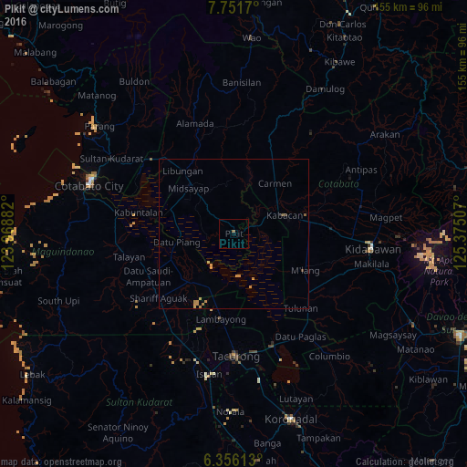
Analysis of Pikit night lights 2016
Square area 10x10 km:
 0%
0%90-99
0%80-89
0%70-79
0%60-69
0%50-59
0.87%40-49
0%30-39
0%20-29
0%10-19
0%0-9
99.13%Square area 50x50 km:
0%90-99
0%80-89
0.01%70-79
0.45%60-69
0.1%50-59
0.1%40-49
0%30-39
0.07%20-29
0.03%10-19
0%0-9
99.24%Clear (daylight) street map image can be seen on geolist.org.
Map coordinates:
7° 45' 6.1" North, 123° 58' 7.8" East
7° 3' 16" North, 124° 40' 19" East
6° 21' 22.1" North, 125° 22' 30.3" East
Some cities around Pikit sort by population:
• Midsayap
21.8 km =13.5 mi,  314°
314°
• Kabacan
18.3 km =11.4 mi,  71°
71°
• Carmen
21.3 km =13.2 mi,  38°
38°
• Datu Piang
18.9 km =11.7 mi,  261°
261°
• Pagalungan
3.2 km =2 mi,  85°
85°
• Glad
19.9 km =12.4 mi,  301°
301°
• Sampao
21.5 km =13.4 mi,  203°
203°
• Dado
23.4 km =14.5 mi,  268°
268°
1693874 (p: 14,998)
Sources (retrieved 2019-11-25):
» Earth at Night: Flat Maps 2012, 2016