Pandan night lights from space
Night Light of Pandan (Bicol) from space (Philippines) Src. Average luminocity for 10x10km area is 0% and for 50x50km: 0%.
Analysis of Pandan night lights 2016
Square area 10x10 km:
100  0%
0%
90-99 0%
80-89 0%
70-79 0%
60-69 0%
50-59 0%
40-49 0%
30-39 0%
20-29 0%
10-19 0%
0-9 100%
0%90-99
0%80-89
0%70-79
0%60-69
0%50-59
0%40-49
0%30-39
0%20-29
0%10-19
0%0-9
100%Square area 50x50 km:
100 0%
90-99 0%
80-89 0%
70-79 0%
60-69 0%
50-59 0%
40-49 0%
30-39 0%
20-29 0%
10-19 0%
0-9 100%
0%90-99
0%80-89
0%70-79
0%60-69
0%50-59
0%40-49
0%30-39
0%20-29
0%10-19
0%0-9
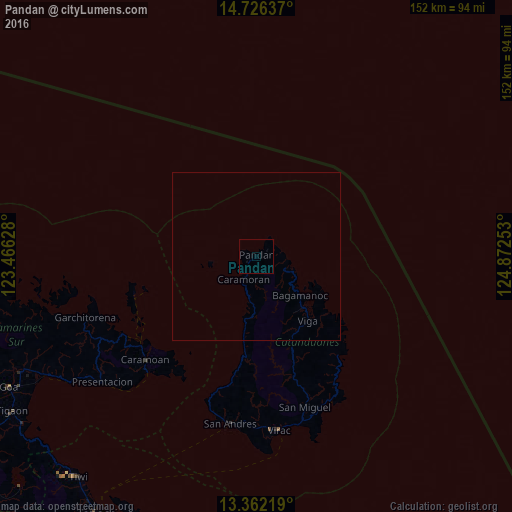
100%Clear (daylight) street map image can be seen on geolist.org.
Map coordinates:
14° 43' 34.9" North, 123° 27' 58.6" East
14° 2' 43.1" North, 124° 10' 9.8" East
13° 21' 43.9" North, 124° 52' 21.1" East
Some cities around Pandan sort by population:
• Goa
83 km =51.6 mi,  242°
242°
• Tiwi
83.9 km =52.1 mi,  218°
218°
• Virac
51.7 km =32.1 mi,  171°
171°
• Tigaon
85.9 km =53.4 mi, 237°
• Lagonoy
78.1 km =48.5 mi, 243°
• Calatagan
50.9 km =31.6 mi,  175°
175°
• Nato
83.8 km =52.1 mi,  234°
234°
• Calolbon
50.5 km =31.4 mi,  188°
188°
1695546 (p: 5,093)
Sources (retrieved 2019-11-25):
» Earth at Night: Flat Maps 2012, 2016