Halapitan night lights from space
Night Light of Halapitan (Northern Mindanao) from space (Philippines) Src. Average luminocity for 10x10km area is 0.0248% and for 50x50km: 0.6237%.
Analysis of Halapitan night lights 2016
Square area 10x10 km:
 0%
0%90-99
0%80-89
0%70-79
0%60-69
0%50-59
0%40-49
0%30-39
0%20-29
0%10-19
0%0-9
100%Square area 50x50 km:
0%90-99
0%80-89
0.01%70-79
0.01%60-69
0.02%50-59
0.07%40-49
0.1%30-39
0.7%20-29
0.45%10-19
0.35%0-9
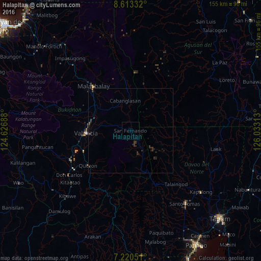
98.29%Clear (daylight) street map image can be seen on geolist.org.
Map coordinates:
8° 36' 48" North, 124° 37' 36.8" East
7° 55' 3" North, 125° 19' 48" East
7° 13' 13.8" North, 126° 1' 59.3" East
Some cities around Halapitan sort by population:
• NIA Valencia
26 km =16.2 mi,  267°
267°
• Quezon
32.9 km =20.4 mi,  230°
230°
• Dologon
32.6 km =20.3 mi,  254°
254°
• Managok
19.9 km =12.4 mi,  308°
308°
• Linabo
24.5 km =15.2 mi, 308°
• Aglayan
26.4 km =16.4 mi, 305°
• Cabanglasan
22.7 km =14.1 mi,  359°
359°
• Mailag
22 km =13.7 mi,  285°
285°
1711958 (p: 10,870)
Sources (retrieved 2019-11-25):
» Earth at Night: Flat Maps 2012, 2016