Balimbing night lights from space
Night Light of Balimbing (Autonomous Region in Muslim Mindanao) from space (Philippines) Src. Average luminocity for 10x10km area is 0% and for 50x50km: 0.0467%.
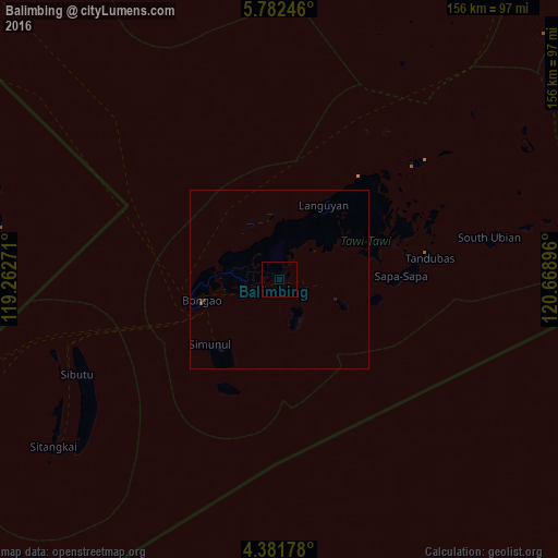
Analysis of Balimbing night lights 2016
Square area 10x10 km:
 0%
0%90-99
0%80-89
0%70-79
0%60-69
0%50-59
0%40-49
0%30-39
0%20-29
0%10-19
0%0-9
100%Square area 50x50 km:
0%90-99
0%80-89
0%70-79
0%60-69
0%50-59
0.03%40-49
0%30-39
0.02%20-29
0.05%10-19
0.03%0-9
99.86%Clear (daylight) street map image can be seen on geolist.org.
Map coordinates:
5° 46' 56.9" North, 119° 15' 45.8" East
5° 4' 57" North, 119° 57' 57" East
4° 22' 54.4" North, 120° 40' 8.3" East
Some cities around Balimbing sort by population:
• Bongao
22.2 km =13.8 mi,  254°
254°
• Sitangkai
78.6 km =48.8 mi,  233°
233°
• Siasi
107.2 km =66.6 mi,  61°
61°
• Languyan
23.6 km =14.7 mi,  32°
32°
• New Batu Batu
9.3 km =5.8 mi,  259°
259°
• Tampakan
26 km =16.2 mi, 227°
• Tongouson
19.7 km =12.2 mi,  110°
110°
• Sanga-Sanga
20 km =12.4 mi,  266°
266°
1728125 (p: 7,102)
Sources (retrieved 2019-11-25):
» Earth at Night: Flat Maps 2012, 2016