Ancón night lights from space
Night Light of Ancón (Panamá) from space (Panama) Src. Average luminocity for 10x10km area is 70.7771% and for 50x50km: 24.234%.
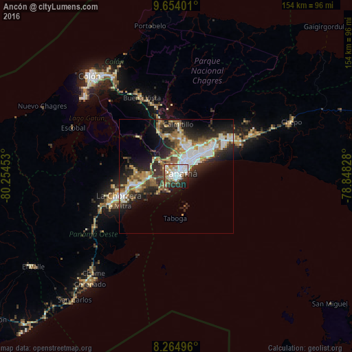
Analysis of Ancón night lights 2016
Square area 10x10 km:
 24.89%
90-99
21.21%80-89
5.84%70-79
5.19%60-69
5.84%50-59
10.61%40-49
1.95%30-39
6.93%20-29
11.47%10-19
6.06%0-9
0%Square area 50x50 km:
4.88%90-99
4.66%80-89
2.84%70-79
2.49%60-69
3.12%50-59
3.76%40-49
2.63%30-39
4.19%20-29
8.11%10-19
9.78%0-9
53.55%Clear (daylight) street map image can be seen on geolist.org.
Map coordinates:
9° 39' 14.4" North, 80° 15' 16.3" West
8° 57' 36.5" North, 79° 33' 5" West
8° 15' 53.9" North, 78° 50' 53.8" West
Some cities around Ancón sort by population:
• Panamá
5.1 km =3.2 mi,  43°
43°
• San Miguelito
13.4 km =8.3 mi, 41°
• Arraiján
12 km =7.5 mi,  265°
265°
• Parque Lefevre
9.8 km =6.1 mi,  49°
49°
• Río Abajo
8.4 km =5.2 mi, 41°
• El Chorrillo
1.3 km =0.8 mi,  158°
158°
• Veracruz
11.3 km =7 mi,  226°
226°
• Curundú
1.3 km =0.8 mi,  25°
25°
3714734 (p: 20,706)
Sources (retrieved 2019-11-25):
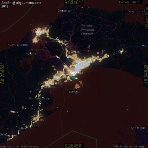
» Earth at Night: Flat Maps 2012, 2016