Marum night lights from space
Night Light of Marum (Groningen) from space (Netherlands) Src. Average luminocity for 10x10km area is 0.0088% and for 50x50km: 5.6807%.
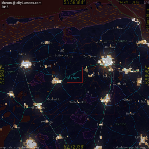
Analysis of Marum night lights 2016
Square area 10x10 km:
 0%
0%90-99
0%80-89
0%70-79
0%60-69
0%50-59
0%40-49
0%30-39
0%20-29
0%10-19
0%0-9
100%Square area 50x50 km:
0.95%90-99
1.2%80-89
0.44%70-79
0.64%60-69
0.61%50-59
0.61%40-49
0.69%30-39
0.6%20-29
1.08%10-19
4.18%0-9
89.01%Clear (daylight) street map image can be seen on geolist.org.
Map coordinates:
53° 33' 49.8" North, 5° 33' 33.7" East
53° 8' 39" North, 6° 15' 45" East
52° 43' 13.3" North, 6° 57' 56.2" East
Some cities around Marum sort by population:
• Drachten
11.5 km =7.1 mi,  252°
252°
• Leek
7.9 km =4.9 mi,  74°
74°
• Zuidhorn
14.7 km =9.1 mi,  39°
39°
• Roden
10.6 km =6.6 mi,  94°
94°
• De Drait
14 km =8.7 mi, 248°
• Surhuisterveen
7.6 km =4.7 mi,  306°
306°
• Kollum
16.5 km =10.3 mi,  333°
333°
• Buitenpost
14.3 km =8.9 mi, 326°
2751111 (p: 5,170)
Sources (retrieved 2019-11-25):
» Earth at Night: Flat Maps 2012, 2016