Maastricht night lights from space
Night Light of Maastricht (Limburg) from space (Netherlands) Src. Average luminocity for 10x10km area is 60.8978% and for 50x50km: 34.1975%.
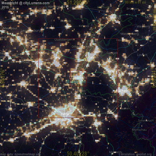


Analysis of Maastricht night lights 2016
Square area 10x10 km:
 13.31%
90-99
15.69%80-89
8.12%70-79
5.74%60-69
6.3%50-59
8.68%40-49
6.3%30-39
11.62%20-29
17.93%10-19
6.3%0-9
0%Square area 50x50 km:
5.42%90-99
6.73%80-89
2.83%70-79
3.36%60-69
4.79%50-59
4.65%40-49
4.86%30-39
6.61%20-29
13.1%10-19
23.25%0-9
24.41%Clear (daylight) street map image can be seen on geolist.org.
Map coordinates:
51° 17' 24.6" North, 4° 59' 8.7" East
50° 50' 54" North, 5° 41' 20" East
50° 24' 8.2" North, 6° 23' 31.2" East
Some cities around Maastricht sort by population:
• Lanaken, BE
5.8 km =3.6 mi,  329°
329°
• Heer
3.1 km =1.9 mi,  111°
111°
• Scharn
3.1 km =1.9 mi,  86°
86°
• Amby
3.4 km =2.1 mi,  63°
63°
• De Heeg
3.6 km =2.2 mi,  137°
137°
• Meerssen
6.1 km =3.8 mi,  44°
44°
• Bunde
6.2 km =3.9 mi,  29°
29°
• Malberg
2.9 km =1.8 mi,  302°
302°
2751283 (p: 122,378)
Sources (retrieved 2019-11-25):
» NASA, Earths city lights 1995
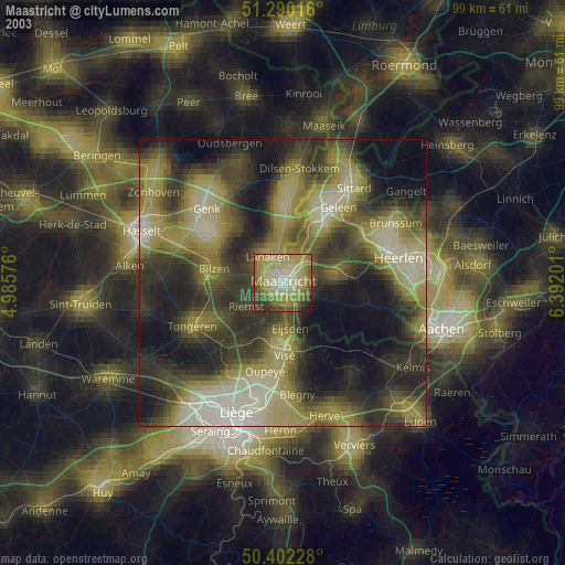
» NASA city lights 2003
» Earth at Night: Flat Maps 2012, 2016