Elburg night lights from space
Night Light of Elburg (Gelderland) from space (Netherlands) Src. Average luminocity for 10x10km area is 5.4823% and for 50x50km: 9.9274%.
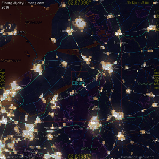
Analysis of Elburg night lights 2016
Square area 10x10 km:
 0.38%
0.38%90-99
0.13%80-89
1.01%70-79
1.26%60-69
1.26%50-59
1.52%40-49
0.38%30-39
0.13%20-29
0.25%10-19
1.01%0-9
92.68%Square area 50x50 km:
1.27%90-99
1.61%80-89
1.02%70-79
1.19%60-69
1.17%50-59
1.39%40-49
1%30-39
0.93%20-29
1.92%10-19
8.32%0-9
80.18%Clear (daylight) street map image can be seen on geolist.org.
Map coordinates:
52° 52' 26.3" North, 5° 8' 23.8" East
52° 26' 51" North, 5° 50' 35" East
52° 1' 0.7" North, 6° 32' 46.3" East
Some cities around Elburg sort by population:
• Kampen
12.8 km =8 mi,  21°
21°
• Epe
14.6 km =9.1 mi,  139°
139°
• Dronten
12.1 km =7.5 mi,  315°
315°
• Nunspeet
8.5 km =5.3 mi,  206°
206°
• Hattem
15.3 km =9.5 mi,  78°
78°
• Heerde
15 km =9.3 mi,  116°
116°
• Frankhuis
17.5 km =10.9 mi,  60°
60°
• Biddinghuizen
10.2 km =6.3 mi,  274°
274°
2756232 (p: 21,844)
Sources (retrieved 2019-11-25):
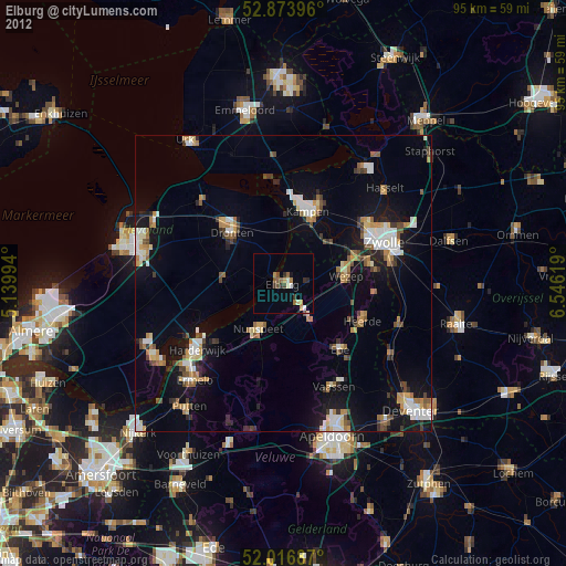
» Earth at Night: Flat Maps 2012, 2016