Ede night lights from space
Night Light of Ede (Gelderland) from space (Netherlands) Src. Average luminocity for 10x10km area is 39.9104% and for 50x50km: 22.546%.
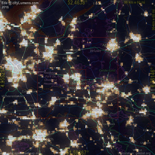
Analysis of Ede night lights 2016
Square area 10x10 km:
 8.59%
8.59%90-99
8.71%80-89
6.06%70-79
1.39%60-69
3.91%50-59
1.26%40-49
2.65%30-39
4.29%20-29
30.3%10-19
20.2%0-9
12.63%Square area 50x50 km:
3.42%90-99
4.12%80-89
2.71%70-79
2.33%60-69
2.6%50-59
2.39%40-49
2.22%30-39
3.05%20-29
8.05%10-19
18.96%0-9
50.14%Clear (daylight) street map image can be seen on geolist.org.
Map coordinates:
52° 27' 49.7" North, 4° 57' 18.8" East
52° 1' 60" North, 5° 39' 30" East
51° 35' 55.2" North, 6° 21' 41.3" East
Some cities around Ede sort by population:
• Veenendaal
6.8 km =4.2 mi,  265°
265°
• Wageningen
7.1 km =4.4 mi,  175°
175°
• Rhenen
10.3 km =6.4 mi,  216°
216°
• Bennekom
4.1 km =2.5 mi,  162°
162°
• Lunteren
6.3 km =3.9 mi,  336°
336°
• Renkum
8.1 km =5 mi,  140°
140°
• Scherpenzeel
12.7 km =7.9 mi,  294°
294°
• Opheusden
11.4 km =7.1 mi,  189°
189°
2756429 (p: 67,670)
Sources (retrieved 2019-11-25):
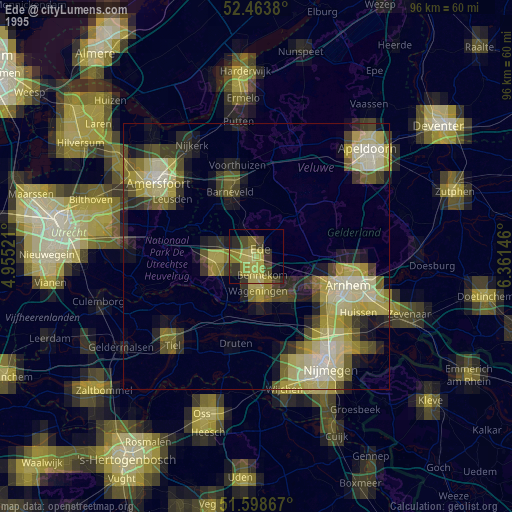
» NASA, Earths city lights 1995
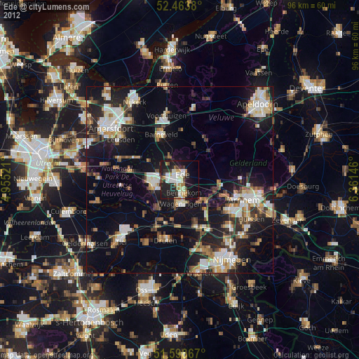
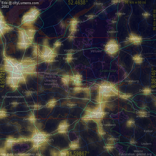
» NASA city lights 2003
» Earth at Night: Flat Maps 2012, 2016