Santiago night lights from space
Night Light of Santiago (Nuevo León) from space (Mexico) Src. Average luminocity for 10x10km area is 28.8075% and for 50x50km: 17.9927%.
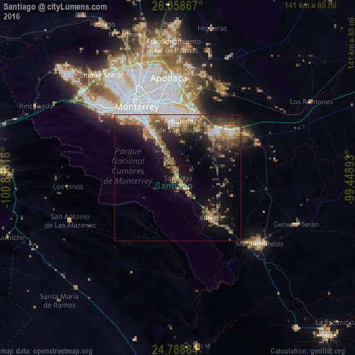
Analysis of Santiago night lights 2016
Square area 10x10 km:
 0%
0%90-99
0%80-89
4.96%70-79
7.14%60-69
7.34%50-59
7.34%40-49
4.76%30-39
3.37%20-29
4.96%10-19
37.3%0-9
22.82%Square area 50x50 km:
1.7%90-99
1.88%80-89
2.3%70-79
2.73%60-69
3.25%50-59
3.68%40-49
3.29%30-39
3.98%20-29
4.9%10-19
9.96%0-9
62.34%Clear (daylight) street map image can be seen on geolist.org.
Map coordinates:
26° 3' 31.2" North, 100° 51' 18.6" West
25° 25' 31.2" North, 100° 9' 7.4" West
24° 47' 19.1" North, 99° 26' 56.1" West
Some cities around Santiago sort by population:
• Guadalupe
29.9 km =18.6 mi,  339°
339°
• Ciudad Benito Juárez
25.3 km =15.7 mi,  12°
12°
• Cadereyta Jiménez
23.6 km =14.7 mi,  39°
39°
• Cadereyta
24.4 km =15.2 mi, 43°
• Jardines de la Silla (Jardines)
23 km =14.3 mi,  351°
351°
• Ciudad de Allende
21.5 km =13.4 mi,  140°
140°
• Héctor Caballero
23.5 km =14.6 mi, 6°
• Monte Kristal
22.3 km =13.9 mi,  358°
358°
3983671 (p: 36,840)
Sources (retrieved 2019-11-25):
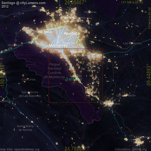
» Earth at Night: Flat Maps 2012, 2016