San Sebastián el Grande night lights from space
Night Light of San Sebastián el Grande (Jalisco) from space (Mexico) Src. Average luminocity for 10x10km area is 84.2273% and for 50x50km: 46.7954%.
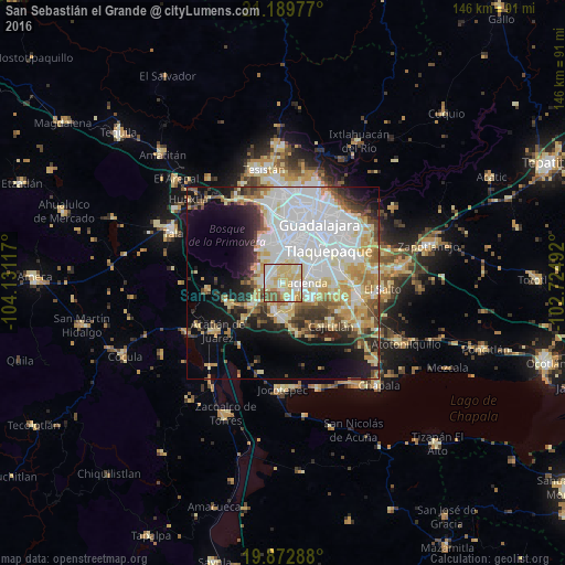
Analysis of San Sebastián el Grande night lights 2016
Square area 10x10 km:
 17.61%
90-99
21.78%80-89
34.09%70-79
10.98%60-69
4.92%50-59
8.71%40-49
1.7%30-39
0.19%20-29
0%10-19
0%0-9
0%Square area 50x50 km:
15.27%90-99
9.32%80-89
7.83%70-79
5.83%60-69
3.81%50-59
3.62%40-49
4.27%30-39
4%20-29
5.04%10-19
10.72%0-9
30.29%Clear (daylight) street map image can be seen on geolist.org.
Map coordinates:
21° 11' 23.2" North, 104° 7' 52.2" West
20° 31' 57.9" North, 103° 25' 40.9" West
19° 52' 22.4" North, 102° 43' 29.7" West
Some cities around San Sebastián el Grande sort by population:
• Hacienda Santa Fe
5.2 km =3.2 mi,  108°
108°
• Nicolás R Casillas
4.3 km =2.7 mi,  290°
290°
• Santa Anita
2.6 km =1.6 mi,  320°
320°
• Lomas del Sur
4.6 km =2.9 mi,  166°
166°
• Santa Cruz del Valle
0.6 km =0.4 mi,  276°
276°
• Lomas de San Agustín
4.2 km =2.6 mi,  261°
261°
• Villas de la Hacienda [Fraccionamiento]
4.7 km =2.9 mi,  92°
92°
• Colinas del Roble
4.4 km =2.7 mi,  135°
135°
3984790 (p: 28,138)
Sources (retrieved 2019-11-25):
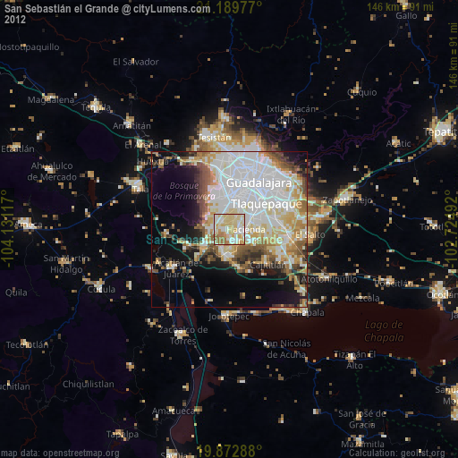
» Earth at Night: Flat Maps 2012, 2016