Ixtlán del Río night lights from space
Night Light of Ixtlán del Río (Nayarit) from space (Mexico) Src. Average luminocity for 10x10km area is 11.5099% and for 50x50km: 1.1036%.
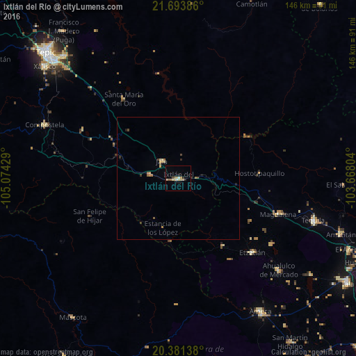
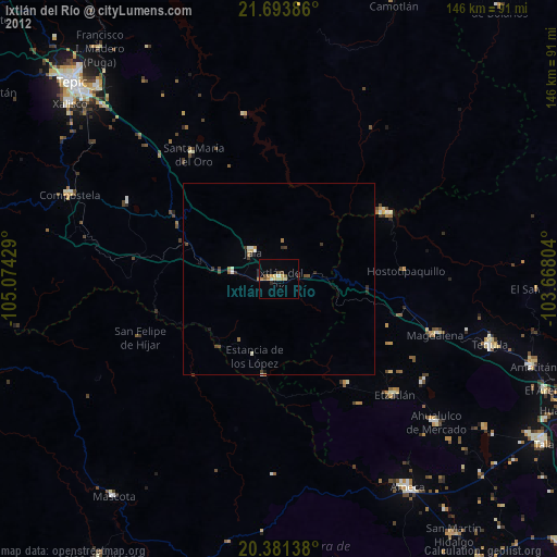
Analysis of Ixtlán del Río night lights 2016
Square area 10x10 km:
 0%
0%90-99
1.59%80-89
3.97%70-79
2.38%60-69
0.2%50-59
2.18%40-49
0.4%30-39
0.4%20-29
1.59%10-19
0.79%0-9
86.51%Square area 50x50 km:
0%90-99
0.06%80-89
0.31%70-79
0.23%60-69
0.15%50-59
0.16%40-49
0.15%30-39
0.16%20-29
0.15%10-19
0.06%0-9
98.55%Clear (daylight) street map image can be seen on geolist.org.
Map coordinates:
21° 41' 37.9" North, 105° 4' 27.4" West
21° 2' 20.7" North, 104° 22' 16.2" West
20° 22' 53" North, 103° 40' 4.9" West
Some cities around Ixtlán del Río sort by population:
• Tequila
58.2 km =36.2 mi,  107°
107°
• Magdalena
43.4 km =27 mi, 109°
• Ahualulco de Mercado
55.7 km =34.6 mi,  132°
132°
• Etzatlán
42.9 km =26.7 mi, 134°
• Ahuacatlán
11.8 km =7.3 mi,  278°
278°
• Jala
10.1 km =6.3 mi,  316°
316°
• San Juanito de Escobedo
47 km =29.2 mi, 125°
• Antonio Escobedo
45.4 km =28.2 mi, 125°
4004267 (p: 23,303)
Sources (retrieved 2019-11-25):
» Earth at Night: Flat Maps 2012, 2016