Delegación Cuajimalpa de Morelos night lights from space
Night Light of Delegación Cuajimalpa de Morelos (Mexico City) from space (Mexico) Src. Average luminocity for 10x10km area is 93.062% and for 50x50km: 63.4619%.
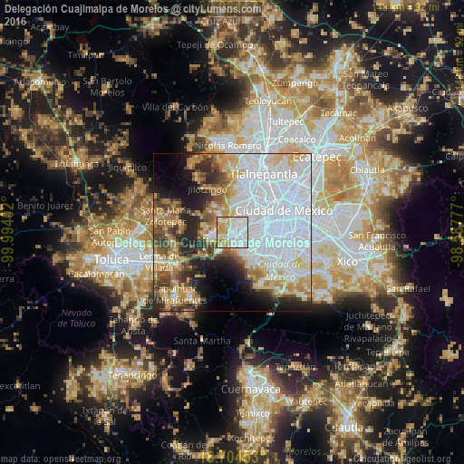
Analysis of Delegación Cuajimalpa de Morelos night lights 2016
Square area 10x10 km:
 48.97%
90-99
22.93%80-89
9.5%70-79
15.91%60-69
2.69%50-59
0%40-49
0%30-39
0%20-29
0%10-19
0%0-9
0%Square area 50x50 km:
30.22%90-99
8.11%80-89
7.6%70-79
6.79%60-69
6.94%50-59
4.07%40-49
5.22%30-39
4.56%20-29
7.5%10-19
7.55%0-9
11.41%Clear (daylight) street map image can be seen on geolist.org.
Map coordinates:
20° 1' 52.2" North, 99° 59' 38.5" West
19° 22' 9.1" North, 99° 17' 27.2" West
18° 42' 16.3" North, 98° 35' 16" West
Some cities around Delegación Cuajimalpa de Morelos sort by population:
• Huixquilucan
6.3 km =3.9 mi,  260°
260°
• Jesús del Monte
0.7 km =0.4 mi,  329°
329°
• San Lorenzo Acopilco
5.8 km =3.6 mi,  221°
221°
• Col. Bosques de las Lomas
2.8 km =1.7 mi,  67°
67°
• La Magdalena Chichicaspa
6 km =3.7 mi,  322°
322°
• Santiago Yancuitlalpan
2.2 km =1.4 mi, 318°
• Zacamulpa
4.5 km =2.8 mi,  250°
250°
• San Bartolomé Coatepec
3.9 km =2.4 mi, 324°
3530049 (p: 160,491)
Sources (retrieved 2019-11-25):
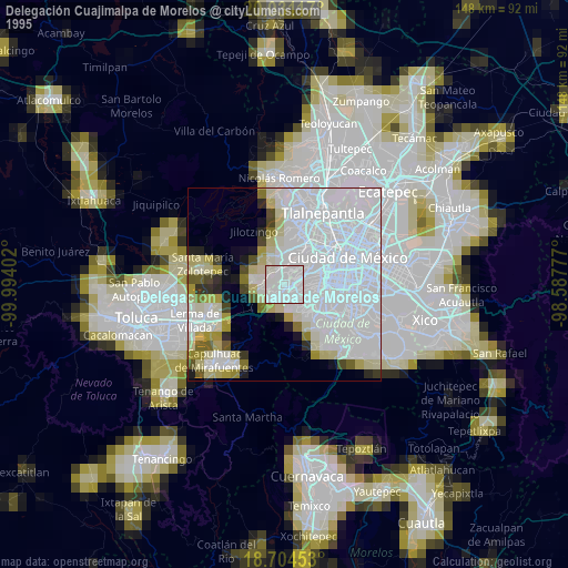
» NASA, Earths city lights 1995
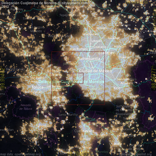
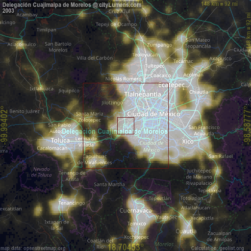
» NASA city lights 2003
» Earth at Night: Flat Maps 2012, 2016