Atlacomulco de Fabela night lights from space
Night Light of Atlacomulco de Fabela (México) from space (Mexico) Src. Average luminocity for 10x10km area is 45.4091% and for 50x50km: 18.9182%.
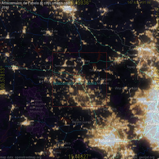
Analysis of Atlacomulco de Fabela night lights 2016
Square area 10x10 km:
 0.62%
0.62%90-99
4.34%80-89
6.61%70-79
9.71%60-69
13.22%50-59
8.88%40-49
12.19%30-39
4.75%20-29
22.31%10-19
16.74%0-9
0.62%Square area 50x50 km:
0.04%90-99
0.32%80-89
1.51%70-79
2.34%60-69
4.88%50-59
3.23%40-49
6.16%30-39
6.29%20-29
7.21%10-19
15.98%0-9
52.03%Clear (daylight) street map image can be seen on geolist.org.
Map coordinates:
20° 27' 33.7" North, 100° 34' 41.3" West
19° 47' 57.1" North, 99° 52' 30" West
19° 8' 10.6" North, 99° 10' 18.8" West
Some cities around Atlacomulco de Fabela sort by population:
• San Lorenzo Tlacotepec
4.2 km =2.6 mi,  290°
290°
• La Concepción de los Baños
13.1 km =8.1 mi,  173°
173°
• San Francisco Tepeolulco
12.4 km =7.7 mi, 287°
• Santa María Citendejé
5.9 km =3.7 mi,  251°
251°
• Santiago Acutzilapan
11.5 km =7.1 mi,  97°
97°
• San Miguel Tenochtitlán
6.6 km =4.1 mi,  228°
228°
• Santiago Citendejé
6 km =3.7 mi, 250°
• San Juan Coajomulco
11.1 km =6.9 mi,  242°
242°
3532617 (p: 22,774)
Sources (retrieved 2019-11-25):
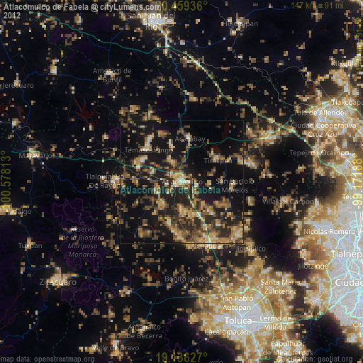
» Earth at Night: Flat Maps 2012, 2016