Vingt Cinq night lights from space
Night Light of Vingt Cinq (Agalega Islands) from space (Mauritius) Src. Average luminocity for 10x10km area is 0% and for 50x50km: 0%.
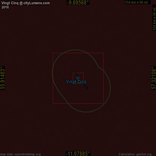
Analysis of Vingt Cinq night lights 2016
Square area 10x10 km:
 0%
0%90-99
0%80-89
0%70-79
0%60-69
0%50-59
0%40-49
0%30-39
0%20-29
0%10-19
0%0-9
100%Square area 50x50 km:
0%90-99
0%80-89
0%70-79
0%60-69
0%50-59
0%40-49
0%30-39
0%20-29
0%10-19
0%0-9
100%Clear (daylight) street map image can be seen on geolist.org.
Map coordinates:
9° 41' 44.4" South, 55° 54' 53.4" East
10° 23' 16.9" South, 56° 37' 4.6" East
11° 4' 43.9" South, 57° 19' 15.9" East
Some cities around Vingt Cinq sort by population:
• Victoria, SC
654 km =406.4 mi,  348°
348°
• Anse Boileau, SC
642.9 km =399.5 mi, 348°
• Bel Ombre, SC
655.2 km =407.1 mi, 348°
• Beau Vallon, SC
654.5 km =406.7 mi, 348°
• Cascade, SC
648 km =402.6 mi, 349°
• Anse Royale, SC
640.3 km =397.9 mi, 349°
• Takamaka, SC
637.1 km =395.9 mi, 348°
• Port Glaud, SC
649.8 km =403.8 mi, 348°
12022106 (p: 250)
Sources (retrieved 2019-11-25):
» Earth at Night: Flat Maps 2012, 2016