Cahul night lights from space
Night Light of Cahul from space (Moldova) Src. Average luminocity for 10x10km area is 4.753% and for 50x50km: 0.5474%.
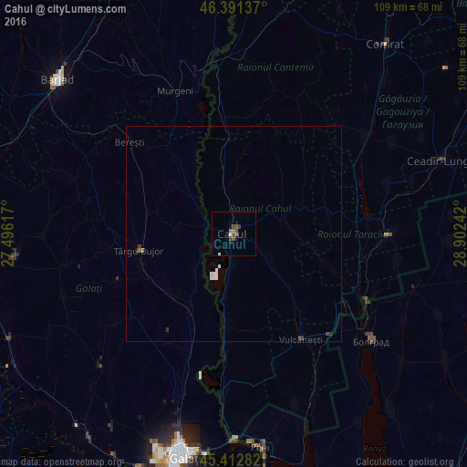
Analysis of Cahul night lights 2016
Square area 10x10 km:
 0.3%
0.3%90-99
0.6%80-89
0%70-79
0%60-69
0.89%50-59
1.93%40-49
1.34%30-39
1.79%20-29
0%10-19
1.49%0-9
91.67%Square area 50x50 km:
0.11%90-99
0.13%80-89
0%70-79
0%60-69
0.06%50-59
0.1%40-49
0.05%30-39
0.17%20-29
0.07%10-19
0.06%0-9
99.25%Clear (daylight) street map image can be seen on geolist.org.
Map coordinates:
46° 23' 28.9" North, 27° 29' 46.2" East
45° 54' 15.3" North, 28° 11' 57.4" East
45° 24' 46.2" North, 28° 54' 8.7" East
Some cities around Cahul sort by population:
• Bolhrad, UA
40.6 km =25.2 mi,  127°
127°
• Vulcăneşti
29.2 km =18.1 mi,  146°
146°
• Taraclia
36.3 km =22.6 mi,  90°
90°
• Murgeni, RO
36.1 km =22.4 mi,  337°
337°
• Tuluceşti, RO
39.7 km =24.7 mi,  198°
198°
• Drăguşeni, RO
35.4 km =22 mi,  281°
281°
• Frumuşiţa, RO
28.3 km =17.6 mi, 201°
• Măstăcani, RO
18.6 km =11.6 mi,  223°
223°
618456 (p: 34,492)
Sources (retrieved 2019-11-25):
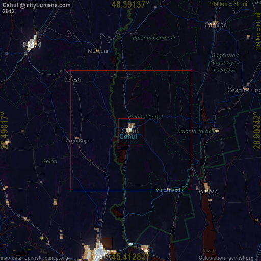
» Earth at Night: Flat Maps 2012, 2016