Krustpils night lights from space
Night Light of Krustpils (Jēkabpils Municipality) from space (Latvia) Src. Average luminocity for 10x10km area is 12.3466% and for 50x50km: 0.6656%.
Analysis of Krustpils night lights 2016
Square area 10x10 km:
 1.7%
1.7%90-99
1.93%80-89
2.39%70-79
2.84%60-69
0.8%50-59
0.34%40-49
0.45%30-39
0.23%20-29
1.02%10-19
6.02%0-9
82.27%Square area 50x50 km:
0.09%90-99
0.12%80-89
0.14%70-79
0.12%60-69
0.03%50-59
0.01%40-49
0.06%30-39
0.03%20-29
0.06%10-19
0.25%0-9
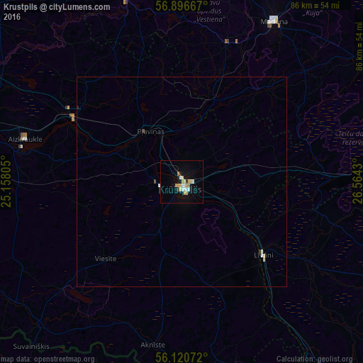
99.09%Clear (daylight) street map image can be seen on geolist.org.
Map coordinates:
56° 53' 48" North, 25° 9' 29" East
56° 30' 38.4" North, 25° 51' 40.2" East
56° 7' 14.6" North, 26° 33' 51.5" East
Some cities around Krustpils sort by population:
• Jēkabpils
1.3 km =0.8 mi,  190°
190°
• Līvāni
26 km =16.2 mi,  131°
131°
• Aizkraukle
38.6 km =24 mi,  285°
285°
• Pļaviņas
14.5 km =9 mi,  325°
325°
• Viesīte
26.1 km =16.2 mi,  226°
226°
• Aknīste
39.4 km =24.5 mi, 190°
• Koknese
30.4 km =18.9 mi,  301°
301°
• Sala
6 km =3.7 mi,  265°
265°
458511 (p: 6,680)
Sources (retrieved 2019-11-25):
» Earth at Night: Flat Maps 2012, 2016