Soufrière night lights from space
Night Light of Soufrière from space (Saint Lucia) Src. Average luminocity for 10x10km area is 7.2479% and for 50x50km: 6.8495%.
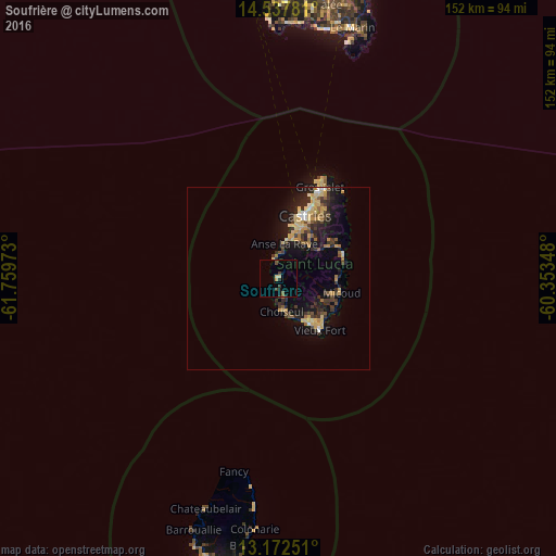
Analysis of Soufrière night lights 2016
Square area 10x10 km:
 0%
0%90-99
0%80-89
2.07%70-79
0.83%60-69
0.41%50-59
1.24%40-49
1.24%30-39
1.86%20-29
1.86%10-19
2.48%0-9
88.02%Square area 50x50 km:
0.21%90-99
0.45%80-89
1.7%70-79
1.15%60-69
0.74%50-59
0.83%40-49
0.7%30-39
1.74%20-29
2.22%10-19
5.4%0-9
84.87%Clear (daylight) street map image can be seen on geolist.org.
Map coordinates:
14° 32' 16.1" North, 61° 45' 35" West
13° 51' 22.2" North, 61° 3' 23.8" West
13° 10' 21" North, 60° 21' 12.5" West
Some cities around Soufrière sort by population:
• Castries
16.4 km =10.2 mi,  19°
19°
• Bisee
20.7 km =12.9 mi,  25°
25°
• Vieux Fort
19.3 km =12 mi,  143°
143°
• Micoud
17.5 km =10.9 mi,  104°
104°
• Dennery
19 km =11.8 mi,  70°
70°
• Anse La Raye
10.2 km =6.3 mi,  10°
10°
• Laborie
14.2 km =8.8 mi,  146°
146°
• Choiseul
9.3 km =5.8 mi,  175°
175°
3576442 (p: 2,918)
Sources (retrieved 2019-11-25):
» Earth at Night: Flat Maps 2012, 2016