Castries night lights from space
Night Light of Castries from space (Saint Lucia) Src. Average luminocity for 10x10km area is 48.6472% and for 50x50km: 6.2512%.
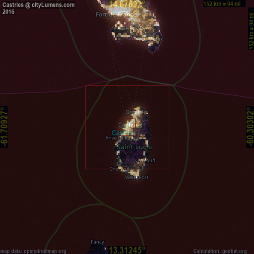
Analysis of Castries night lights 2016
Square area 10x10 km:
 3.25%
3.25%90-99
6.06%80-89
19.7%70-79
9.09%60-69
5.19%50-59
2.81%40-49
4.11%30-39
5.63%20-29
14.94%10-19
23.16%0-9
6.06%Square area 50x50 km:
0.2%90-99
0.37%80-89
1.57%70-79
1.03%60-69
0.69%50-59
0.73%40-49
0.62%30-39
1.45%20-29
2.18%10-19
5.3%0-9
85.86%Clear (daylight) street map image can be seen on geolist.org.
Map coordinates:
14° 40' 36.9" North, 61° 42' 33.4" West
13° 59' 44.5" North, 61° 0' 22.1" West
13° 18' 44.8" North, 60° 18' 10.9" West
Some cities around Castries sort by population:
• Bisee
4.7 km =2.9 mi,  47°
47°
• Micoud
23 km =14.3 mi,  150°
150°
• Soufrière
16.4 km =10.2 mi,  199°
199°
• Dennery
15.4 km =9.6 mi,  126°
126°
• Gros Islet
9.9 km =6.2 mi,  37°
37°
• Anse La Raye
6.5 km =4 mi,  212°
212°
• Laborie
27.4 km =17 mi,  174°
174°
• Choiseul
25.2 km =15.7 mi,  190°
190°
3576812 (p: 20,000)
Sources (retrieved 2019-11-25):
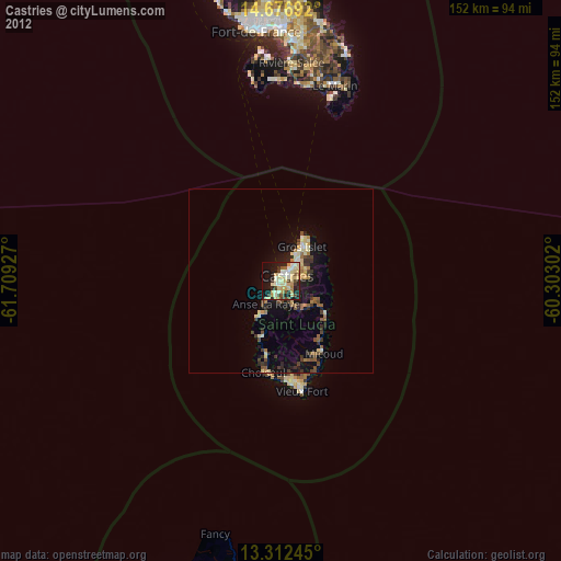
» Earth at Night: Flat Maps 2012, 2016