Shirahamachō-usazakiminami night lights from space
Night Light of Shirahamachō-usazakiminami (Hyōgo) from space (Japan) Src. Average luminocity for 10x10km area is 56.7454% and for 50x50km: 21.2258%.
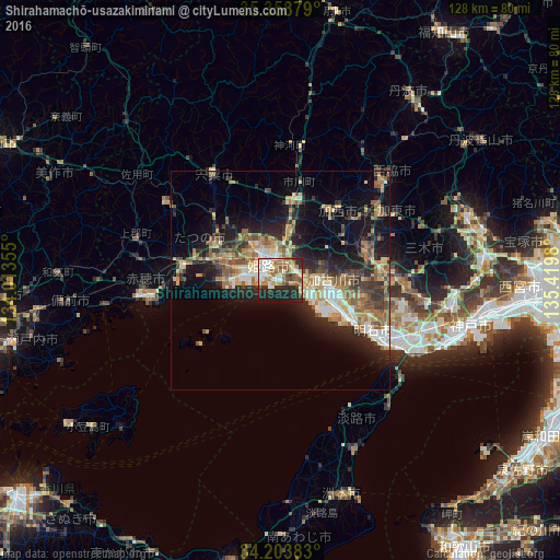
Analysis of Shirahamachō-usazakiminami night lights 2016
Square area 10x10 km:
 11.36%
90-99
10.81%80-89
6.96%70-79
9.71%60-69
7.69%50-59
10.62%40-49
4.76%30-39
5.13%20-29
21.61%10-19
11.36%0-9
0%Square area 50x50 km:
2.17%90-99
2.9%80-89
3.06%70-79
3.53%60-69
3.52%50-59
3.69%40-49
2.85%30-39
3.65%20-29
6.56%10-19
11.58%0-9
56.51%Clear (daylight) street map image can be seen on geolist.org.
Map coordinates:
35° 21' 31.6" North, 134° 0' 48.8" East
34° 46' 60" North, 134° 43' 0" East
34° 12' 13.8" North, 135° 25' 11.3" East
Some cities around Shirahamachō-usazakiminami sort by population:
• Himeji
4 km =2.5 mi,  337°
337°
• Kakogawachō-honmachi
10.4 km =6.5 mi,  98°
98°
• Miki
24.4 km =15.2 mi,  85°
85°
• Ono
21.1 km =13.1 mi,  69°
69°
• Tatsunochō-tominaga
17.5 km =10.9 mi,  300°
300°
• Aioi
22.8 km =14.2 mi,  275°
275°
• Yashiro
27.2 km =16.9 mi,  56°
56°
• Yonedacho Sendo
10 km =6.2 mi, 94°
1851935 (p: 23,180)
Sources (retrieved 2019-11-25):
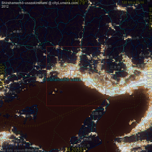
» Earth at Night: Flat Maps 2012, 2016