Ōbu night lights from space
Night Light of Ōbu (Aichi) from space (Japan) Src. Average luminocity for 10x10km area is 87.8916% and for 50x50km: 63.0071%.
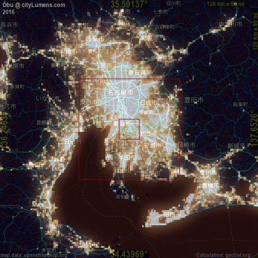
Analysis of Ōbu night lights 2016
Square area 10x10 km:
 22.9%
22.9%90-99
30.77%80-89
20.8%70-79
15.03%60-69
9.79%50-59
0.7%40-49
0%30-39
0%20-29
0%10-19
0%0-9
0%Square area 50x50 km:
17.75%90-99
14.23%80-89
8.76%70-79
9.13%60-69
10.9%50-59
7.43%40-49
4.84%30-39
4.33%20-29
6.1%10-19
6.1%0-9
10.42%Clear (daylight) street map image can be seen on geolist.org.
Map coordinates:
35° 35' 28.9" North, 136° 14' 46.9" East
35° 1' 3.2" North, 136° 56' 58.1" East
34° 26' 22.9" North, 137° 39' 9.4" East
Some cities around Ōbu sort by population:
• Nagoya
18.6 km =11.6 mi,  347°
347°
• Anjō
13.6 km =8.5 mi,  118°
118°
• Kariya
4.9 km =3 mi,  140°
140°
• Handa
15 km =9.3 mi,  185°
185°
• Hekinan
15.2 km =9.4 mi,  168°
168°
• Chiryū
7.9 km =4.9 mi,  104°
104°
• Tokoname
17.5 km =10.9 mi,  211°
211°
• Takahama
11.6 km =7.2 mi,  164°
164°
1854803 (p: 77,864)
Sources (retrieved 2019-11-25):
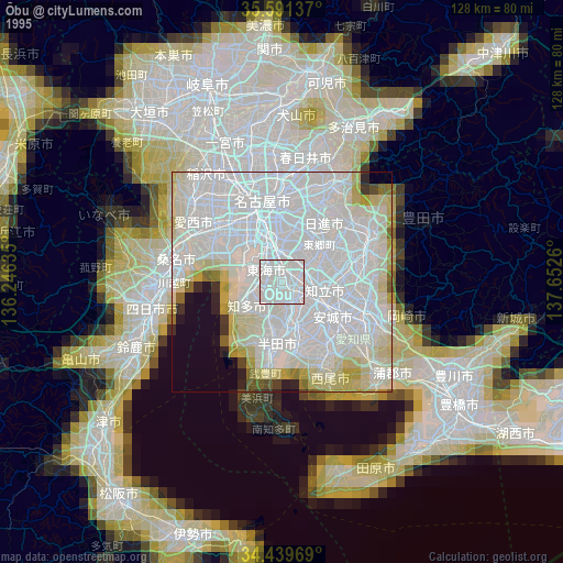
» NASA, Earths city lights 1995
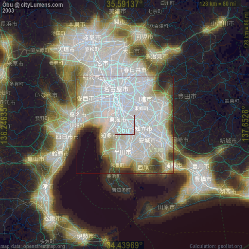
» NASA city lights 2003
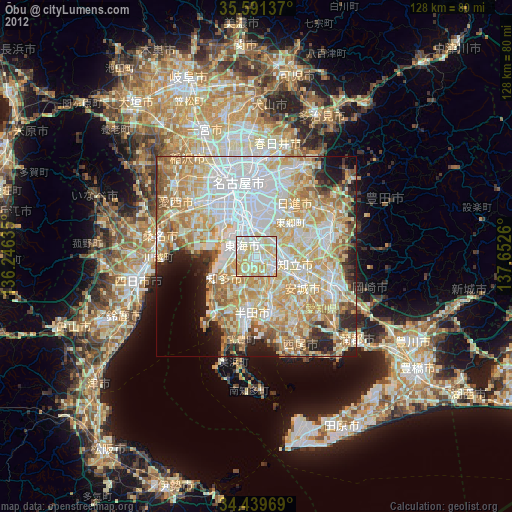
» Earth at Night: Flat Maps 2012, 2016