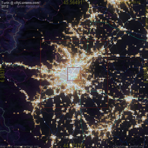
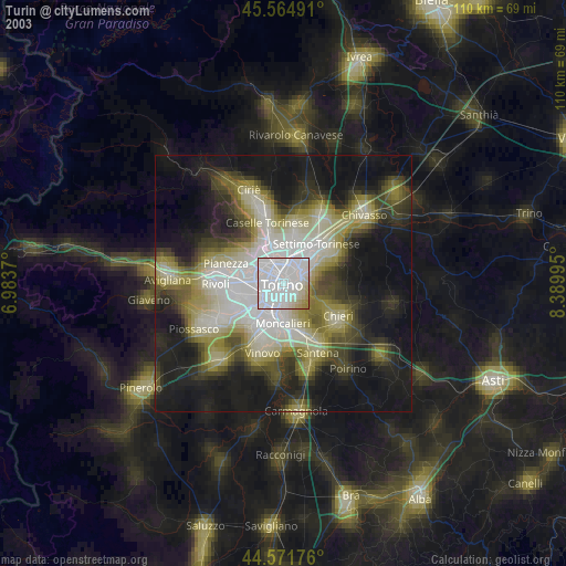
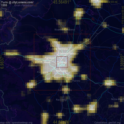
Turin night lights from space
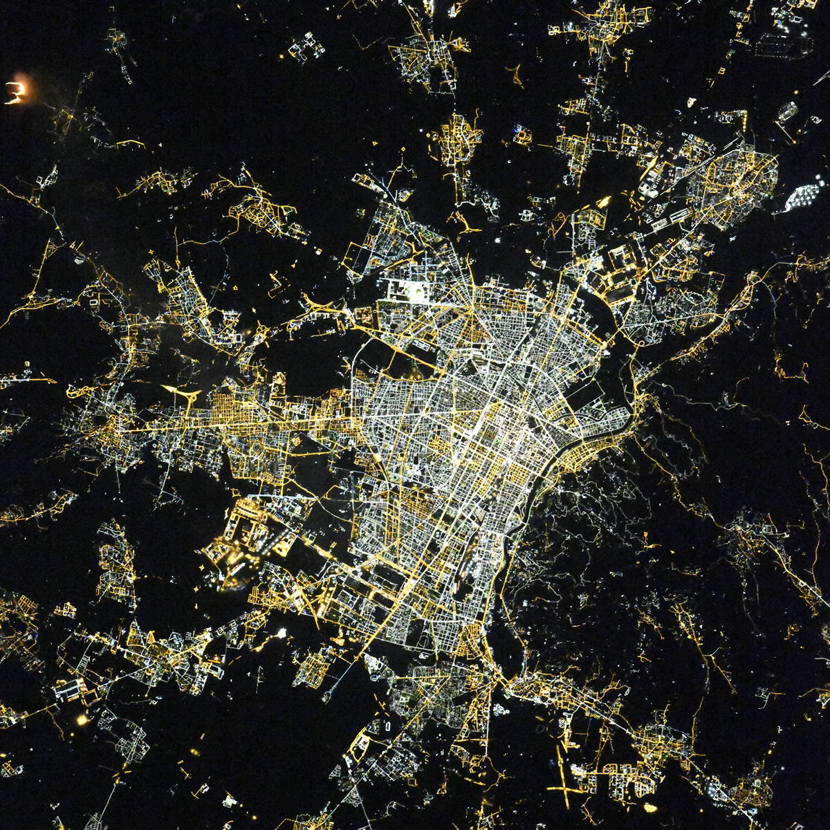
Night Light of Turin (Piedmont) from space (Italy) Src. Average luminocity for 10x10km area is 91.6348% and for 50x50km: 38.3481%.
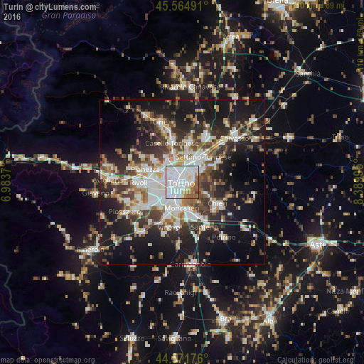
Analysis of Turin night lights 2016
Square area 10x10 km:
 56.21%
90-99
21.67%80-89
2.27%70-79
4.55%60-69
7.27%50-59
7.12%40-49
0.3%30-39
0.61%20-29
0%10-19
0%0-9
0%Square area 50x50 km:
8.57%90-99
8.42%80-89
3.02%70-79
3.48%60-69
3.93%50-59
4.93%40-49
5.91%30-39
5.93%20-29
10.3%10-19
22.31%0-9
23.18%Clear (daylight) street map image can be seen on geolist.org.
Map coordinates:
45° 33' 53.7" North, 6° 59' 1.3" East
45° 4' 13.8" North, 7° 41' 12.6" East
44° 34' 18.3" North, 8° 23' 23.8" East
Fantastic image of Turin from space taken by astronauts [src2], but I don't have information about it's orientation, scale or angle. If necessary, it was rotated manually, so North points approximately to upper direction. Click to zoom in:
Some cities around Turin sort by population:
• Moncalieri
7.9 km =4.9 mi,  182°
182°
• Nichelino
8.2 km =5.1 mi,  198°
198°
• Venaria Reale
7.5 km =4.7 mi,  324°
324°
• Grugliasco
8.4 km =5.2 mi,  265°
265°
• San Mauro Torinese
7.4 km =4.6 mi,  60°
60°
• Borgaro Torinese
9.3 km =5.8 mi,  344°
344°
• Mappano
8.8 km =5.5 mi,  10°
10°
• Pino Torinese
7.9 km =4.9 mi,  115°
115°
3165524 (p: 870,456)
Sources (retrieved 2019-11-25):
» NASA, Earths city lights 1995
» NASA city lights 2003
» Earth at Night: Flat Maps 2012, 2016
Src.2: picture by Oleg Kononenko,ĀRoscosmos, retrieved 2019-11-29