Teramo night lights from space
Night Light of Teramo (Abruzzo) from space (Italy) Src. Average luminocity for 10x10km area is 38.5697% and for 50x50km: 20.2865%.
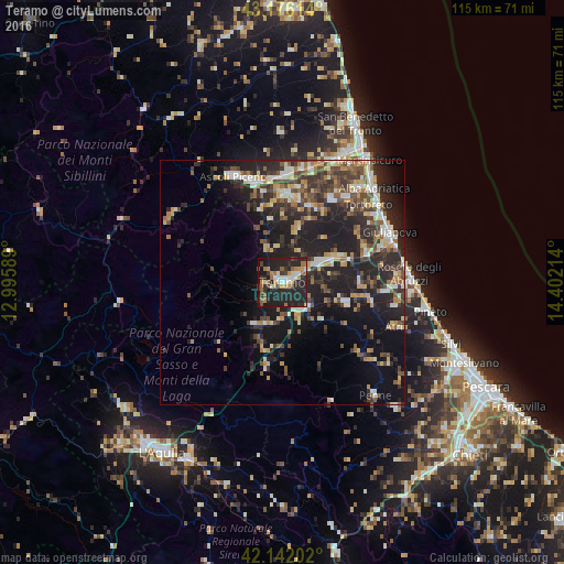
Analysis of Teramo night lights 2016
Square area 10x10 km:
 4.7%
4.7%90-99
5.3%80-89
1.06%70-79
6.52%60-69
7.42%50-59
5.45%40-49
3.03%30-39
7.88%20-29
33.18%10-19
23.79%0-9
1.67%Square area 50x50 km:
1.83%90-99
3.34%80-89
2.12%70-79
2.42%60-69
2.52%50-59
2.78%40-49
3.67%30-39
4.27%20-29
9.65%10-19
14.67%0-9
52.74%Clear (daylight) street map image can be seen on geolist.org.
Map coordinates:
43° 10' 34.1" North, 12° 59' 45.2" East
42° 39' 40.4" North, 13° 41' 56.4" East
42° 8' 31.3" North, 14° 24' 7.7" East
Some cities around Teramo sort by population:
• Ascoli Piceno
23.7 km =14.7 mi,  334°
334°
• Giulianova
24.2 km =15 mi,  64°
64°
• Sant'Egidio alla Vibrata
17.4 km =10.8 mi,  6°
6°
• Piattoni-Villa Sant'Antonio
22.8 km =14.2 mi,  2°
2°
• Castel di Lama
22.6 km =14 mi, 4°
• Montorio al Vomano
10.2 km =6.3 mi,  209°
209°
• San Nicolò a Tordino
8.9 km =5.5 mi, 63°
• Villa Pigna
19.8 km =12.3 mi,  344°
344°
3165803 (p: 36,099)
Sources (retrieved 2019-11-25):
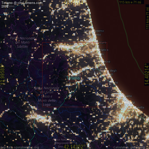
» Earth at Night: Flat Maps 2012, 2016