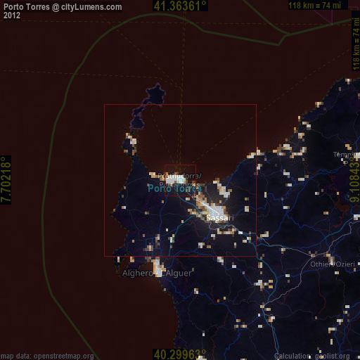
Porto Torres night lights from space
Night Light of Porto Torres (Sardinia) from space (Italy) Src. Average luminocity for 10x10km area is 26.0068% and for 50x50km: 6.5708%.
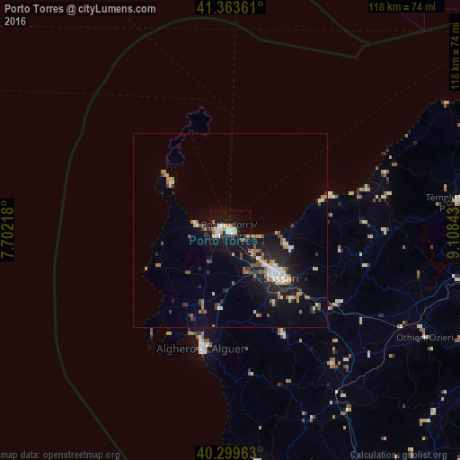
Analysis of Porto Torres night lights 2016
Square area 10x10 km:
 4.42%
4.42%90-99
6.46%80-89
2.21%70-79
2.55%60-69
2.04%50-59
2.38%40-49
0.34%30-39
2.72%20-29
2.21%10-19
42.86%0-9
31.8%Square area 50x50 km:
0.8%90-99
0.88%80-89
0.57%70-79
0.69%60-69
1.09%50-59
0.77%40-49
0.66%30-39
0.7%20-29
2.05%10-19
5.73%0-9
86.03%Clear (daylight) street map image can be seen on geolist.org.
Map coordinates:
41° 21' 49" North, 7° 42' 7.8" East
40° 50' 1.5" North, 8° 24' 19.1" East
40° 17' 58.7" North, 9° 6' 30.3" East
Some cities around Porto Torres sort by population:
• Sassari
17.4 km =10.8 mi,  133°
133°
• Alghero
31.3 km =19.4 mi,  193°
193°
• Sorso
14.8 km =9.2 mi,  104°
104°
• Li Punti-San Giovanni
10.5 km =6.5 mi,  138°
138°
• Ittiri
30.3 km =18.8 mi,  152°
152°
• Ozieri
57.4 km =35.7 mi,  118°
118°
• Sennori
16.6 km =10.3 mi,  107°
107°
• Ossi
23.7 km =14.7 mi, 138°
3170069 (p: 21,653)
Sources (retrieved 2019-11-25):
» Earth at Night: Flat Maps 2012, 2016