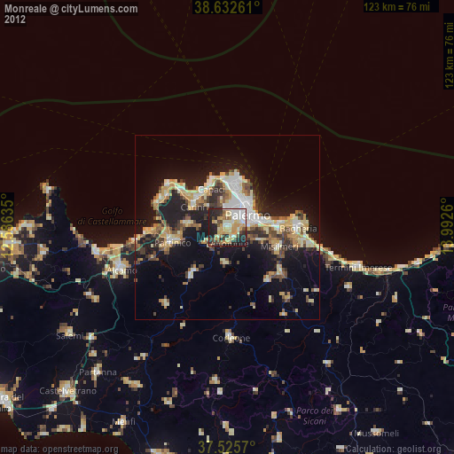
Monreale night lights from space
Night Light of Monreale (Sicily) from space (Italy) Src. Average luminocity for 10x10km area is 52.9708% and for 50x50km: 18.569%.
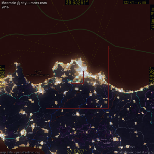
Analysis of Monreale night lights 2016
Square area 10x10 km:
 11.53%
90-99
7.14%80-89
5.19%70-79
6.33%60-69
13.31%50-59
6.49%40-49
6.98%30-39
8.28%20-29
21.1%10-19
13.64%0-9
0%Square area 50x50 km:
2.87%90-99
2.65%80-89
2.25%70-79
2.07%60-69
2.4%50-59
2.74%40-49
2.29%30-39
3.12%20-29
6.24%10-19
13.7%0-9
59.67%Clear (daylight) street map image can be seen on geolist.org.
Map coordinates:
38° 37' 57.4" North, 12° 35' 10.9" East
38° 4' 52.5" North, 13° 17' 22.1" East
37° 31' 32.5" North, 13° 59' 33.4" East
Some cities around Monreale sort by population:
• Palermo
6.9 km =4.3 mi,  35°
35°
• Carini
10.9 km =6.8 mi,  301°
301°
• Belmonte Mezzagno
9.8 km =6.1 mi,  113°
113°
• Capaci
10.9 km =6.8 mi,  336°
336°
• Isola delle Femmine
12.8 km =8 mi, 343°
• Altofonte
4.3 km =2.7 mi,  174°
174°
• Ciaculli
10.3 km =6.4 mi,  93°
93°
• Piana degli Albanesi
9.7 km =6 mi,  182°
182°
2524085 (p: 21,964)
Sources (retrieved 2019-11-25):
» Earth at Night: Flat Maps 2012, 2016