Frascati night lights from space
Night Light of Frascati (Latium) from space (Italy) Src. Average luminocity for 10x10km area is 79.1591% and for 50x50km: 54.5703%.
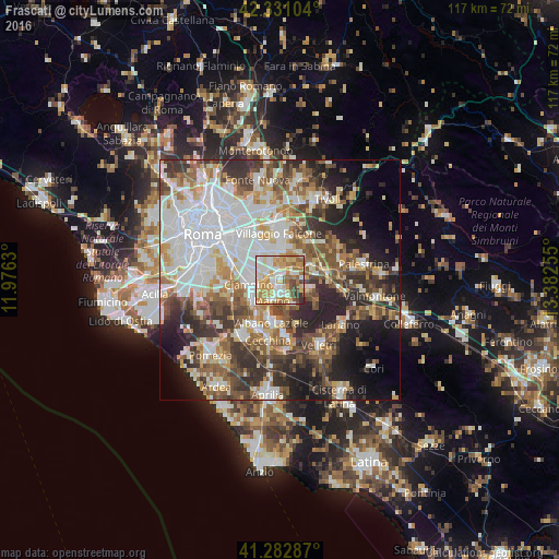
Analysis of Frascati night lights 2016
Square area 10x10 km:
 18.03%
90-99
19.39%80-89
14.09%70-79
19.7%60-69
13.79%50-59
6.82%40-49
4.24%30-39
3.03%20-29
0.91%10-19
0%0-9
0%Square area 50x50 km:
13.97%90-99
12.34%80-89
5.89%70-79
6.46%60-69
6.34%50-59
7.74%40-49
7.83%30-39
7.93%20-29
10.19%10-19
9.79%0-9
11.54%Clear (daylight) street map image can be seen on geolist.org.
Map coordinates:
42° 19' 51.7" North, 11° 58' 34.7" East
41° 48' 32.8" North, 12° 40' 45.9" East
41° 16' 58.3" North, 13° 22' 57.2" East
Some cities around Frascati sort by population:
• Marino
4.7 km =2.9 mi,  201°
201°
• Ciampino
6.5 km =4 mi,  261°
261°
• Albano Laziale
9.2 km =5.7 mi,  190°
190°
• Grottaferrata
2.6 km =1.6 mi, 194°
• Rocca di Papa
5.2 km =3.2 mi,  158°
158°
• Rocca Priora
8.6 km =5.3 mi,  123°
123°
• Monte Porzio Catone
3 km =1.9 mi,  75°
75°
• Montecompatri
4.8 km =3 mi,  90°
90°
3176589 (p: 20,036)
Sources (retrieved 2019-11-25):
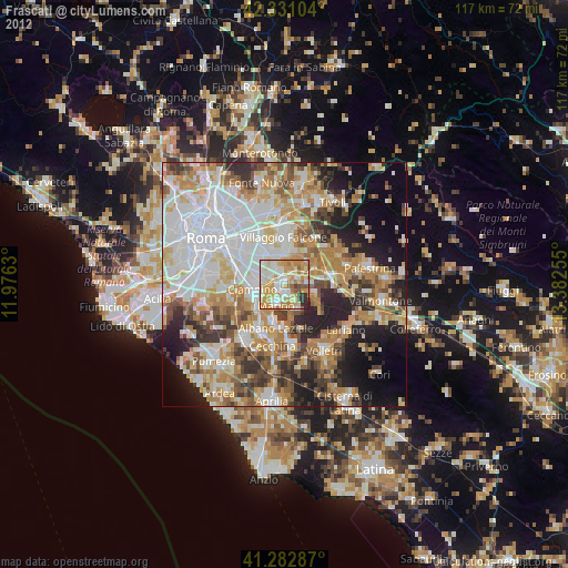
» Earth at Night: Flat Maps 2012, 2016