Albano Laziale night lights from space
Night Light of Albano Laziale (Latium) from space (Italy) Src. Average luminocity for 10x10km area is 73.0503% and for 50x50km: 52.5691%.
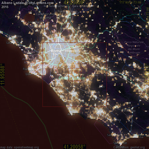
Analysis of Albano Laziale night lights 2016
Square area 10x10 km:
 12.99%
90-99
14.29%80-89
11.2%70-79
14.94%60-69
18.99%50-59
14.45%40-49
8.93%30-39
3.9%20-29
0.32%10-19
0%0-9
0%Square area 50x50 km:
13.31%90-99
11.63%80-89
5.41%70-79
5.99%60-69
6.4%50-59
7.53%40-49
7.42%30-39
7.72%20-29
11.18%10-19
11.95%0-9
11.45%Clear (daylight) street map image can be seen on geolist.org.
Map coordinates:
42° 15' 0.3" North, 11° 57' 21.2" East
41° 43' 38.9" North, 12° 39' 32.4" East
41° 12' 2.1" North, 13° 21' 43.7" East
Some cities around Albano Laziale sort by population:
• Marino
4.7 km =2.9 mi,  0°
0°
• Genzano di Roma
3.4 km =2.1 mi,  132°
132°
• Frascati
9.2 km =5.7 mi,  10°
10°
• Grottaferrata
6.7 km =4.2 mi, 8°
• Ariccia
1.3 km =0.8 mi,  124°
124°
• Rocca di Papa
5.6 km =3.5 mi,  39°
39°
• Cecchina
3 km =1.9 mi,  194°
194°
• Lanuvio
6.7 km =4.2 mi,  154°
154°
3183356 (p: 26,684)
Sources (retrieved 2019-11-25):
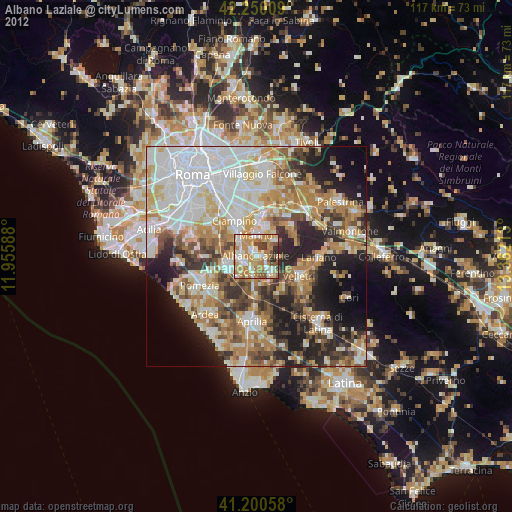
» Earth at Night: Flat Maps 2012, 2016