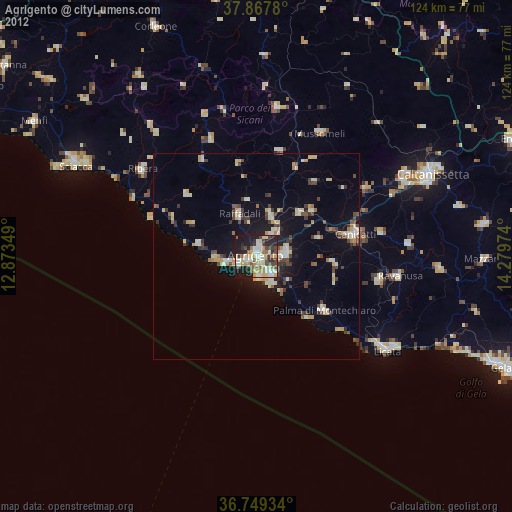
Agrigento night lights from space
Night Light of Agrigento (Sicily) from space (Italy) Src. Average luminocity for 10x10km area is 49.4302% and for 50x50km: 9.8033%.
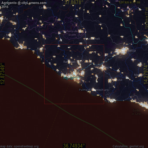
Analysis of Agrigento night lights 2016
Square area 10x10 km:
 5.68%
5.68%90-99
7.63%80-89
7.79%70-79
6.66%60-69
8.44%50-59
7.14%40-49
8.12%30-39
12.5%20-29
22.24%10-19
13.8%0-9
0%Square area 50x50 km:
0.97%90-99
1.05%80-89
1.61%70-79
0.94%60-69
1.23%50-59
1.21%40-49
0.86%30-39
2.15%20-29
2.34%10-19
7.57%0-9
80.07%Clear (daylight) street map image can be seen on geolist.org.
Map coordinates:
37° 52' 4.1" North, 12° 52' 24.6" East
37° 18' 38.3" North, 13° 34' 35.8" East
36° 44' 57.6" North, 14° 16' 47.1" East
Some cities around Agrigento sort by population:
• Favara
7.6 km =4.7 mi,  84°
84°
• Porto Empedocle
5.1 km =3.2 mi,  242°
242°
• San Leone Mosè
5.1 km =3.2 mi,  172°
172°
• Raffadali
10.9 km =6.8 mi,  338°
338°
• Aragona
10.5 km =6.5 mi,  21°
21°
• Racalmuto
17.1 km =10.6 mi,  52°
52°
• Villaseta
2 km =1.2 mi,  229°
229°
• Grotte
14.9 km =9.3 mi, 46°
2525764 (p: 32,514)
Sources (retrieved 2019-11-25):
» Earth at Night: Flat Maps 2012, 2016