Casoria night lights from space
Night Light of Casoria (Campania) from space (Italy) Src. Average luminocity for 10x10km area is 97.8588% and for 50x50km: 52.8126%.
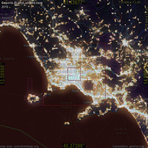
Analysis of Casoria night lights 2016
Square area 10x10 km:
 69.73%
90-99
21.77%80-89
3.74%70-79
3.74%60-69
1.02%50-59
0%40-49
0%30-39
0%20-29
0%10-19
0%0-9
0%Square area 50x50 km:
13.67%90-99
13.36%80-89
5.29%70-79
7.28%60-69
7.8%50-59
5.39%40-49
3.95%30-39
6.71%20-29
9.49%10-19
10.85%0-9
16.22%Clear (daylight) street map image can be seen on geolist.org.
Map coordinates:
41° 26' 12.4" North, 13° 35' 23.6" East
40° 54' 27" North, 14° 17' 34.8" East
40° 22' 26.3" North, 14° 59' 46.1" East
Some cities around Casoria sort by population:
• Afragola
2.2 km =1.4 mi,  38°
38°
• Secondigliano
2.4 km =1.5 mi,  249°
249°
• Arzano
2.3 km =1.4 mi,  275°
275°
• Frattamaggiore
4 km =2.5 mi,  339°
339°
• Miano
4 km =2.5 mi,  237°
237°
• Arpino
3.1 km =1.9 mi,  132°
132°
• Casavatore
1.7 km =1.1 mi, 236°
• San Pietro a Patierno
2.4 km =1.5 mi,  185°
185°
3179806 (p: 58,456)
Sources (retrieved 2019-11-25):
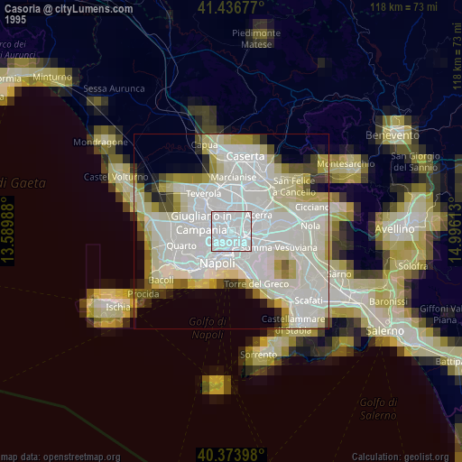
» NASA, Earths city lights 1995
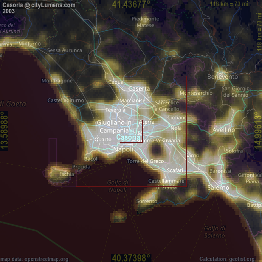
» NASA city lights 2003
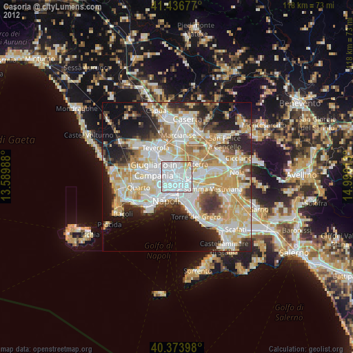
» Earth at Night: Flat Maps 2012, 2016