Cardito night lights from space
Night Light of Cardito (Campania) from space (Italy) Src. Average luminocity for 10x10km area is 90.4337% and for 50x50km: 53.6981%.
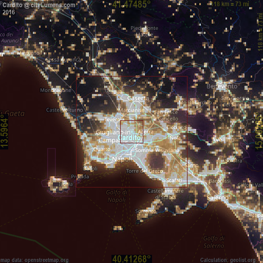
Analysis of Cardito night lights 2016
Square area 10x10 km:
 47.96%
90-99
20.24%80-89
7.31%70-79
10.88%60-69
9.18%50-59
3.4%40-49
1.02%30-39
0%20-29
0%10-19
0%0-9
0%Square area 50x50 km:
13.47%90-99
13.4%80-89
5.41%70-79
7.49%60-69
7.87%50-59
5.59%40-49
4.22%30-39
6.94%20-29
9.75%10-19
12.62%0-9
13.25%Clear (daylight) street map image can be seen on geolist.org.
Map coordinates:
41° 28' 29.5" North, 13° 35' 47" East
40° 56' 45.2" North, 14° 17' 58.3" East
40° 24' 45.6" North, 15° 0' 9.5" East
Some cities around Cardito sort by population:
• Afragola
2.7 km =1.7 mi,  162°
162°
• Casoria
4.3 km =2.7 mi,  187°
187°
• Caivano
1.4 km =0.9 mi,  22°
22°
• Frattamaggiore
2 km =1.2 mi,  255°
255°
• Orta di Atella
3.3 km =2.1 mi,  308°
308°
• Grumo Nevano
3.5 km =2.2 mi,  251°
251°
• Frattaminore
2.6 km =1.6 mi,  295°
295°
• Crispano
1.1 km =0.7 mi, 312°
3180541 (p: 22,239)
Sources (retrieved 2019-11-25):
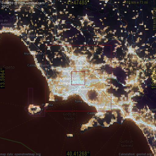
» Earth at Night: Flat Maps 2012, 2016