Cammarata night lights from space
Night Light of Cammarata (Sicily) from space (Italy) Src. Average luminocity for 10x10km area is 11.7041% and for 50x50km: 4.6841%.
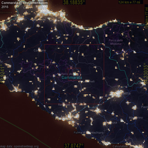
Analysis of Cammarata night lights 2016
Square area 10x10 km:
 1.36%
1.36%90-99
1.36%80-89
1.53%70-79
1.87%60-69
1.19%50-59
2.21%40-49
1.36%30-39
1.02%20-29
0.68%10-19
0.68%0-9
86.73%Square area 50x50 km:
0.37%90-99
0.45%80-89
0.85%70-79
0.52%60-69
0.54%50-59
0.56%40-49
0.51%30-39
1%20-29
0.69%10-19
0.52%0-9
93.99%Clear (daylight) street map image can be seen on geolist.org.
Map coordinates:
38° 11' 18.1" North, 12° 55' 26.8" East
37° 38' 1" North, 13° 37' 38" East
37° 4' 28.9" North, 14° 19' 49.3" East
Some cities around Cammarata sort by population:
• Raffadali
27.1 km =16.8 mi,  198°
198°
• Mussomeli
12.5 km =7.8 mi,  118°
118°
• Aragona
26.1 km =16.2 mi,  181°
181°
• San Giovanni Gemini
1.6 km =1 mi,  113°
113°
• Casteltermini
10.7 km =6.6 mi,  171°
171°
• Racalmuto
27 km =16.8 mi,  160°
160°
• Lercara Friddi
12.7 km =7.9 mi,  350°
350°
• Grotte
26.4 km =16.4 mi, 166°
2525433 (p: 5,646)
Sources (retrieved 2019-11-25):
» Earth at Night: Flat Maps 2012, 2016