Battipaglia night lights from space
Night Light of Battipaglia (Campania) from space (Italy) Src. Average luminocity for 10x10km area is 59.1851% and for 50x50km: 20.6599%.
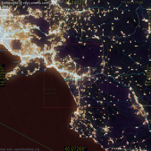
Analysis of Battipaglia night lights 2016
Square area 10x10 km:
 11.69%
90-99
11.04%80-89
7.47%70-79
6.98%60-69
5.03%50-59
14.29%40-49
11.2%30-39
15.26%20-29
15.58%10-19
1.46%0-9
0%Square area 50x50 km:
2.38%90-99
3.36%80-89
2.35%70-79
2.22%60-69
2.56%50-59
4.09%40-49
3.53%30-39
4.77%20-29
6.67%10-19
10.94%0-9
57.12%Clear (daylight) street map image can be seen on geolist.org.
Map coordinates:
41° 8' 25" North, 14° 16' 44.3" East
40° 36' 31" North, 14° 58' 55.5" East
40° 4' 21.7" North, 15° 41' 6.8" East
Some cities around Battipaglia sort by population:
• Eboli
6.4 km =4 mi,  81°
81°
• Pontecagnano
9.8 km =6.1 mi,  294°
294°
• Bellizzi
3.2 km =2 mi, 292°
• Mercato
12.5 km =7.8 mi,  343°
343°
• Montecorvino Rovella
9.3 km =5.8 mi,  358°
358°
• Montecorvino Pugliano
8.5 km =5.3 mi, 338°
• Olevano sul Tusciano
6.4 km =4 mi,  32°
32°
• Quadrivio
10.4 km =6.5 mi, 79°
3182272 (p: 47,104)
Sources (retrieved 2019-11-25):
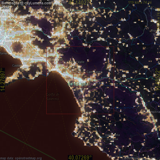
» Earth at Night: Flat Maps 2012, 2016