Kópavogur night lights from space
Night Light of Kópavogur (Capital Region) from space (Iceland) Src. Average luminocity for 10x10km area is 76.5267% and for 50x50km: 7.026%.
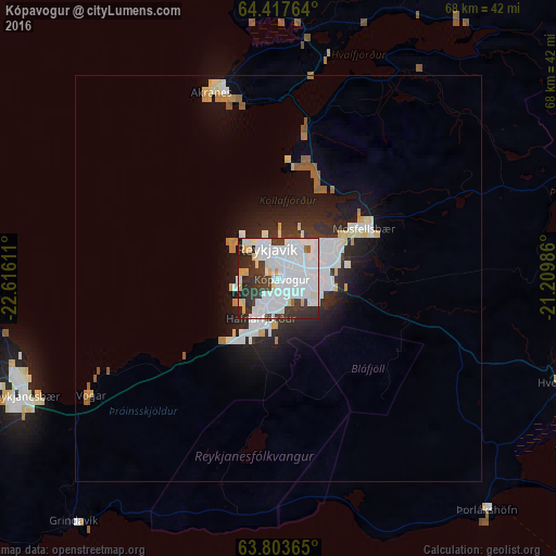
Analysis of Kópavogur night lights 2016
Square area 10x10 km:
 40.38%
90-99
20.48%80-89
5.33%70-79
2%60-69
0.76%50-59
0.57%40-49
2.95%30-39
13.52%20-29
12.1%10-19
1.9%0-9
0%Square area 50x50 km:
2.24%90-99
1.53%80-89
0.71%70-79
0.38%60-69
0.38%50-59
0.41%40-49
0.15%30-39
0.98%20-29
2.3%10-19
4.02%0-9
86.9%Clear (daylight) street map image can be seen on geolist.org.
Map coordinates:
64° 25' 3.5" North, 22° 36' 58" West
64° 6' 44.4" North, 21° 54' 46.7" West
63° 48' 13.1" North, 21° 12' 35.5" West
Some cities around Kópavogur sort by population:
• Reykjavík
2.7 km =1.7 mi,  18°
18°
• Hafnarfjörður
5.2 km =3.2 mi,  193°
193°
• Garðabær
2.7 km =1.7 mi, 190°
• Mosfellsbær
12 km =7.5 mi,  59°
59°
• Akranes
24.6 km =15.3 mi,  341°
341°
• Selfoss
48.9 km =30.4 mi,  114°
114°
• Borgarnes
47.4 km =29.5 mi,  359°
359°
• Keflavík
33.8 km =21 mi,  249°
249°
3415212 (p: 31,719)
Sources (retrieved 2019-11-25):
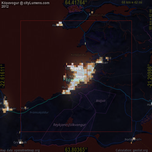
» Earth at Night: Flat Maps 2012, 2016