Virār night lights from space
Night Light of Virār (Maharashtra) from space (India) Src. Average luminocity for 10x10km area is 78.9669% and for 50x50km: 24.1636%.
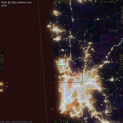
Analysis of Virār night lights 2016
Square area 10x10 km:
 19.01%
90-99
23.97%80-89
22.52%70-79
8.47%60-69
6.61%50-59
5.58%40-49
0.83%30-39
3.93%20-29
7.85%10-19
1.24%0-9
0%Square area 50x50 km:
2.67%90-99
5.05%80-89
6.03%70-79
3.18%60-69
3.69%50-59
3.07%40-49
2.64%30-39
2.23%20-29
4.46%10-19
8.23%0-9
58.76%Clear (daylight) street map image can be seen on geolist.org.
Map coordinates:
20° 7' 3.1" North, 72° 6' 29.7" East
19° 27' 21.3" North, 72° 48' 40.9" East
18° 47' 29.7" North, 73° 30' 52.2" East
Some cities around Virār sort by population:
• Thāne
32.9 km =20.4 mi,  150°
150°
• Dombivli
39 km =24.2 mi,  132°
132°
• Bhiwandi
31.2 km =19.4 mi,  123°
123°
• Borivli
25.1 km =15.6 mi,  168°
168°
• Bhayandar
17.7 km =11 mi, 166°
• Pālghar
27.2 km =16.9 mi,  349°
349°
• Manor
31.6 km =19.6 mi,  19°
19°
• Shirgaon
28.5 km =17.7 mi,  339°
339°
1253133 (p: 150,357)
Sources (retrieved 2019-11-25):
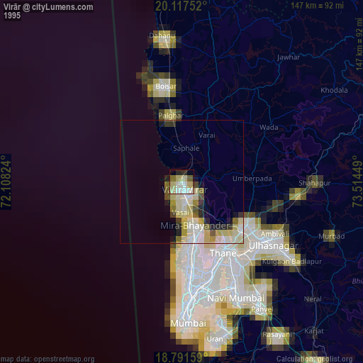
» NASA, Earths city lights 1995
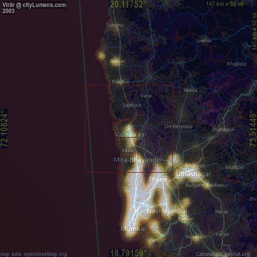
» NASA city lights 2003
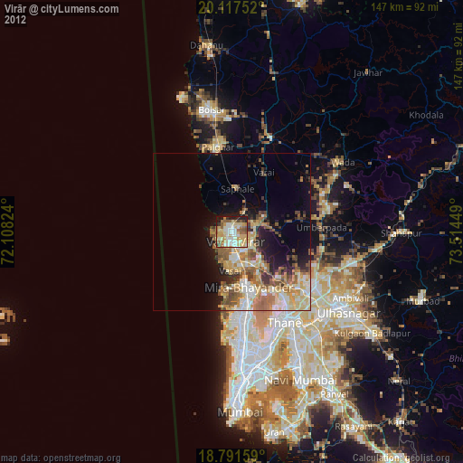
» Earth at Night: Flat Maps 2012, 2016