Kāsaragod night lights from space
Night Light of Kāsaragod (Kerala) from space (India) Src. Average luminocity for 10x10km area is 22.0996% and for 50x50km: 1.3763%.
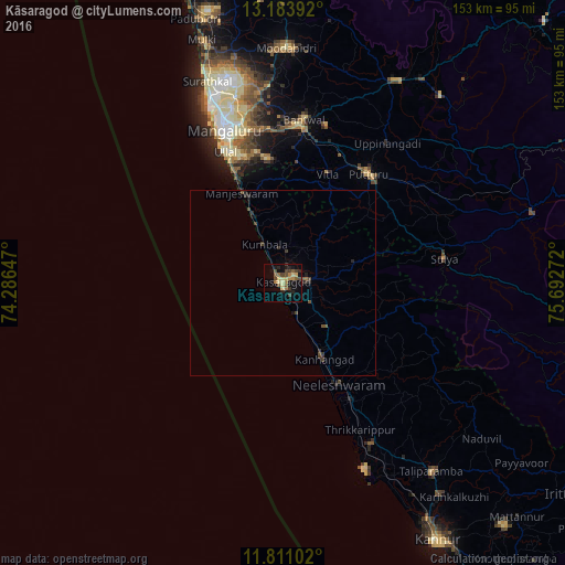
Analysis of Kāsaragod night lights 2016
Square area 10x10 km:
 0%
0%90-99
0%80-89
6.49%70-79
2.81%60-69
4.11%50-59
3.9%40-49
7.58%30-39
2.38%20-29
4.33%10-19
14.29%0-9
54.11%Square area 50x50 km:
0%90-99
0%80-89
0.25%70-79
0.11%60-69
0.2%50-59
0.25%40-49
0.48%30-39
0.41%20-29
0.45%10-19
0.76%0-9
97.08%Clear (daylight) street map image can be seen on geolist.org.
Map coordinates:
13° 11' 2.1" North, 74° 17' 11.3" East
12° 29' 54.2" North, 74° 59' 22.5" East
11° 48' 39.7" North, 75° 41' 33.8" East
Some cities around Kāsaragod sort by population:
• Mangalore
48.8 km =30.3 mi,  342°
342°
• Kānnangād
24.7 km =15.3 mi,  149°
149°
• Ullal
36.9 km =22.9 mi, 337°
• Puttūr
37.1 km =23.1 mi,  38°
38°
• Bantvāl
43.9 km =27.3 mi,  6°
6°
• Nīlēshwar
30.9 km =19.2 mi, 149°
• Sulya
43.7 km =27.2 mi,  80°
80°
• Manjēshvar
26.2 km =16.3 mi, 335°
1267616 (p: 53,309)
Sources (retrieved 2019-11-25):
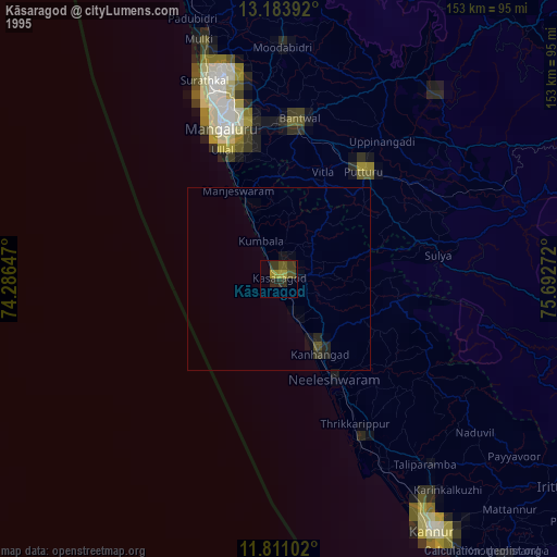
» NASA, Earths city lights 1995
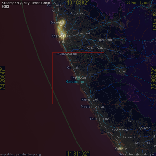
» NASA city lights 2003
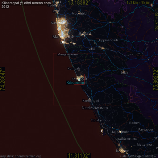
» Earth at Night: Flat Maps 2012, 2016