Kālimpong night lights from space
Night Light of Kālimpong (West Bengal) from space (India) Src. Average luminocity for 10x10km area is 7.6964% and for 50x50km: 4.817%.
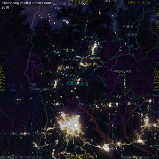
Analysis of Kālimpong night lights 2016
Square area 10x10 km:
 1.39%
1.39%90-99
0.2%80-89
0%70-79
2.38%60-69
0.4%50-59
1.79%40-49
1.39%30-39
3.17%20-29
0%10-19
0%0-9
89.29%Square area 50x50 km:
0.54%90-99
0.44%80-89
0.32%70-79
0.46%60-69
0.44%50-59
0.96%40-49
0.88%30-39
1.14%20-29
0.99%10-19
2.25%0-9
91.59%Clear (daylight) street map image can be seen on geolist.org.
Map coordinates:
27° 41' 41.7" North, 87° 46' 19.8" East
27° 4' 14.1" North, 88° 28' 31" East
26° 26' 33.9" North, 89° 10' 42.3" East
Some cities around Kālimpong sort by population:
• Siliguri
40.4 km =25.1 mi,  186°
186°
• Dārjiling
21.1 km =13.1 mi,  258°
258°
• Kārsiyāng
28.7 km =17.8 mi,  223°
223°
• Gangtok
31.4 km =19.5 mi,  25°
25°
• Bagdogra
44.4 km =27.6 mi,  201°
201°
• Odlābāri
30.2 km =18.8 mi,  149°
149°
• Mirik
34.8 km =21.6 mi,  234°
234°
• Singtam
18.4 km =11.4 mi,  8°
8°
1268403 (p: 43,000)
Sources (retrieved 2019-11-25):
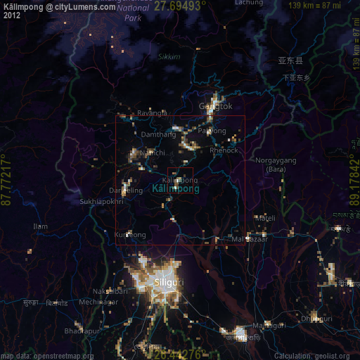
» Earth at Night: Flat Maps 2012, 2016