Imphal night lights from space
Night Light of Imphal (Manipur) from space (India) Src. Average luminocity for 10x10km area is 70.9034% and for 50x50km: 9.931%.
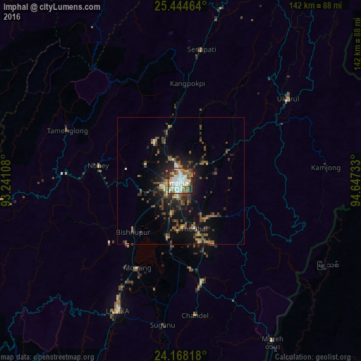
Analysis of Imphal night lights 2016
Square area 10x10 km:
 15.34%
90-99
25.95%80-89
6.82%70-79
6.06%60-69
8.14%50-59
12.12%40-49
7.95%30-39
6.44%20-29
10.23%10-19
0.95%0-9
0%Square area 50x50 km:
0.78%90-99
1.37%80-89
0.7%70-79
0.86%60-69
1.18%50-59
2.26%40-49
2.48%30-39
2.28%20-29
3.13%10-19
6.96%0-9
78%Clear (daylight) street map image can be seen on geolist.org.
Map coordinates:
25° 26' 40.7" North, 93° 14' 27.9" East
24° 48' 29" North, 93° 56' 39.1" East
24° 10' 5.4" North, 94° 38' 50.4" East
Some cities around Imphal sort by population:
• Churāchāndpur
59.6 km =37 mi,  207°
207°
• Thoubāl
19.5 km =12.1 mi,  164°
164°
• Kakching
34.7 km =21.6 mi,  173°
173°
• Mayāng Imphāl
22.7 km =14.1 mi,  194°
194°
• Moirāng
38.4 km =23.9 mi, 205°
• Yairipok
17.8 km =11.1 mi,  144°
144°
• Wāngjing
27.2 km =16.9 mi,  153°
153°
• Mahur
93.5 km =58.1 mi,  296°
296°
1269771 (p: 223,523)
Sources (retrieved 2019-11-25):
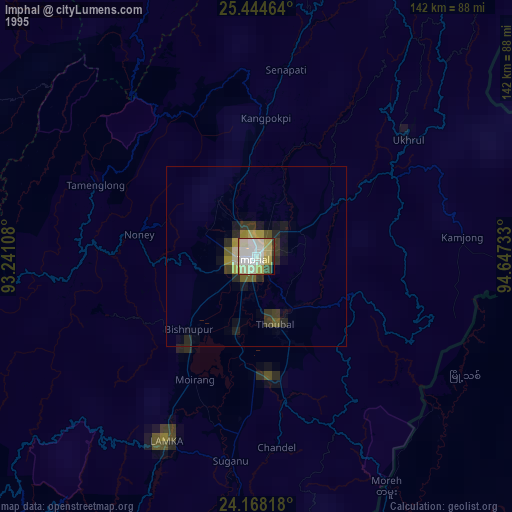
» NASA, Earths city lights 1995
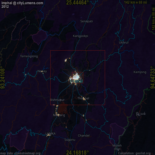
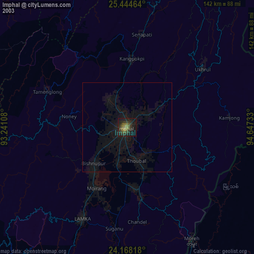
» NASA city lights 2003
» Earth at Night: Flat Maps 2012, 2016