Arumuganeri night lights from space
Night Light of Arumuganeri (Tamil Nadu) from space (India) Src. Average luminocity for 10x10km area is 29.2273% and for 50x50km: 9.5708%.
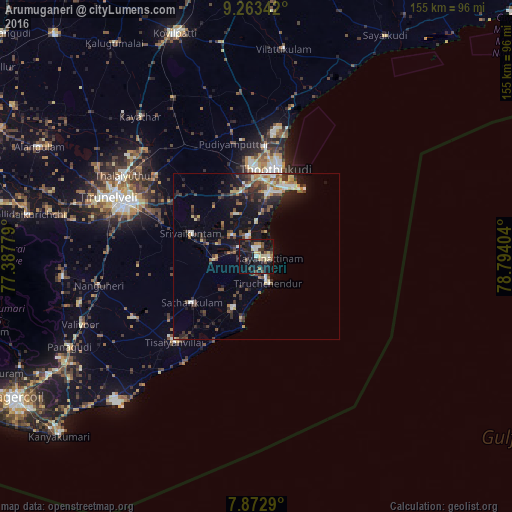
Analysis of Arumuganeri night lights 2016
Square area 10x10 km:
 1.24%
1.24%90-99
3.72%80-89
5.99%70-79
1.86%60-69
3.93%50-59
3.31%40-49
5.58%30-39
6.2%20-29
7.64%10-19
46.28%0-9
14.26%Square area 50x50 km:
0.54%90-99
1.61%80-89
1.23%70-79
0.86%60-69
1.09%50-59
1.15%40-49
2%30-39
2.02%20-29
2.74%10-19
7.31%0-9
79.46%Clear (daylight) street map image can be seen on geolist.org.
Map coordinates:
9° 15' 48.3" North, 77° 23' 16" East
8° 34' 7.7" North, 78° 5' 27.3" East
7° 52' 22.4" North, 78° 47' 38.5" East
Some cities around Arumuganeri sort by population:
• Thoothukudi
22.6 km =14 mi,  12°
12°
• Kayalpattinam
3.2 km =2 mi,  84°
84°
• Tiruchchendur
8.5 km =5.3 mi,  158°
158°
• Udangudi
16.9 km =10.5 mi,  203°
203°
• Srivaikuntam
20.7 km =12.9 mi,  288°
288°
• Sathankulam
24.1 km =15 mi,  234°
234°
• Eral
9.8 km =6.1 mi,  310°
310°
• Alwa Tirunagari
17.1 km =10.6 mi,  284°
284°
1278343 (p: 25,151)
Sources (retrieved 2019-11-25):
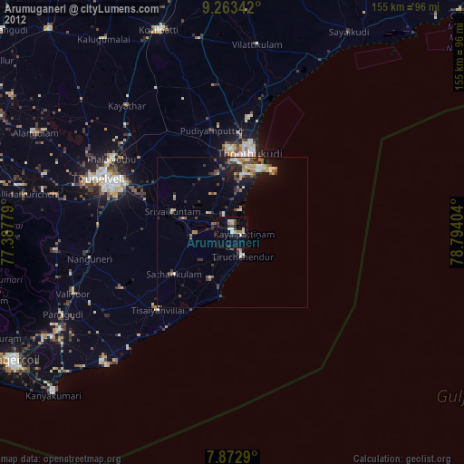
» Earth at Night: Flat Maps 2012, 2016