Kirk Braddan night lights from space
Night Light of Kirk Braddan (Braddan) from space (Isle of Man) Src. Average luminocity for 10x10km area is 15.3093% and for 50x50km: 0.6913%.
Analysis of Kirk Braddan night lights 2016
Square area 10x10 km:
 4.04%
4.04%90-99
3.28%80-89
0.76%70-79
1.01%60-69
1.39%50-59
2.02%40-49
0.88%30-39
0.51%20-29
0.38%10-19
12.5%0-9
73.23%Square area 50x50 km:
0.16%90-99
0.13%80-89
0.04%70-79
0.07%60-69
0.07%50-59
0.08%40-49
0.06%30-39
0.02%20-29
0.02%10-19
0.5%0-9
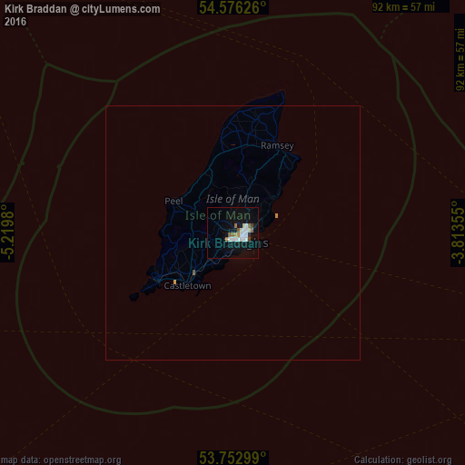
98.87%Clear (daylight) street map image can be seen on geolist.org.
Map coordinates:
54° 34' 34.5" North, 5° 13' 11.3" West
54° 10' 0" North, 4° 31' 0" West
53° 45' 10.8" North, 3° 48' 48.8" West
Some cities around Kirk Braddan sort by population:
• Douglas
2.9 km =1.8 mi,  130°
130°
• Peel
12.9 km =8 mi,  298°
298°
• Laxey
10.4 km =6.5 mi,  47°
47°
• Patrick
12.3 km =7.6 mi,  289°
289°
• Ballasalla
10.8 km =6.7 mi,  223°
223°
• Santon
7.1 km =4.4 mi, 217°
• Onchan
4.2 km =2.6 mi,  79°
79°
• Crosby
3.7 km =2.3 mi, 299°
3042221 (p: 0)
Sources (retrieved 2019-11-25):
» Earth at Night: Flat Maps 2012, 2016