Ballasalla night lights from space
Night Light of Ballasalla (Malew) from space (Isle of Man) Src. Average luminocity for 10x10km area is 0.7273% and for 50x50km: 0.6913%.
Analysis of Ballasalla night lights 2016
Square area 10x10 km:
 0%
0%90-99
0%80-89
0.13%70-79
0.38%60-69
0%50-59
0%40-49
0.51%30-39
0%20-29
0%10-19
0%0-9
98.99%Square area 50x50 km:
0.16%90-99
0.13%80-89
0.04%70-79
0.07%60-69
0.07%50-59
0.08%40-49
0.06%30-39
0.02%20-29
0.02%10-19
0.5%0-9
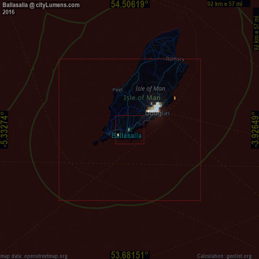
98.87%Clear (daylight) street map image can be seen on geolist.org.
Map coordinates:
54° 30' 22.3" North, 5° 19' 57.9" West
54° 5' 45.2" North, 4° 37' 46.6" West
53° 40' 53.4" North, 3° 55' 35.4" West
Some cities around Ballasalla sort by population:
• Douglas
11.3 km =7 mi,  57°
57°
• Port Erin
8 km =5 mi,  261°
261°
• Castletown
2.9 km =1.8 mi,  213°
213°
• Patrick
12.8 km =8 mi,  340°
340°
• Kirk Braddan
10.8 km =6.7 mi,  43°
43°
• Crosby
10.6 km =6.6 mi,  22°
22°
• Port Saint Mary
7.5 km =4.7 mi,  251°
251°
• Santon
3.8 km =2.4 mi,  52°
52°
3042264 (p: 0)
Sources (retrieved 2019-11-25):
» Earth at Night: Flat Maps 2012, 2016