Wedi night lights from space
Night Light of Wedi (Central Java) from space (Indonesia) Src. Average luminocity for 10x10km area is 40.1405% and for 50x50km: 25.0537%.
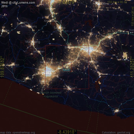
Analysis of Wedi night lights 2016
Square area 10x10 km:
 0.41%
0.41%90-99
2.07%80-89
6.82%70-79
9.3%60-69
7.23%50-59
7.85%40-49
7.64%30-39
14.67%20-29
20.45%10-19
18.39%0-9
5.17%Square area 50x50 km:
2.5%90-99
2.74%80-89
1.95%70-79
3.58%60-69
5.29%50-59
5.89%40-49
6.7%30-39
6.44%20-29
7.72%10-19
8.48%0-9
48.71%Clear (daylight) street map image can be seen on geolist.org.
Map coordinates:
7° 2' 44.8" South, 109° 52' 34.8" East
7° 44' 35" South, 110° 34' 46" East
8° 26' 21" South, 111° 16' 57.3" East
Some cities around Wedi sort by population:
• Klaten
5.1 km =3.2 mi,  35°
35°
• Depok
16.4 km =10.2 mi,  262°
262°
• Karanganom
11.6 km =7.2 mi,  25°
25°
• Candi Prambanan
9.4 km =5.8 mi,  265°
265°
• Ceper
13.4 km =8.3 mi,  55°
55°
• Jogonalan
6.5 km =4 mi,  312°
312°
• Trucuk
9.2 km =5.7 mi,  72°
72°
• Kebonarun
5.1 km =3.2 mi,  339°
339°
1621678 (p: 55,300)
Sources (retrieved 2019-11-25):
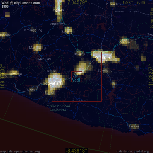
» NASA, Earths city lights 1995
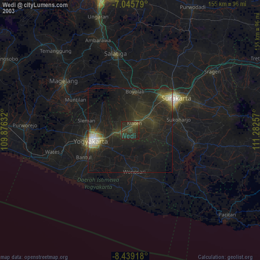
» NASA city lights 2003
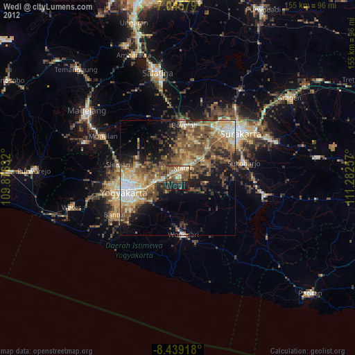
» Earth at Night: Flat Maps 2012, 2016