Jogonalan night lights from space
Night Light of Jogonalan (Central Java) from space (Indonesia) Src. Average luminocity for 10x10km area is 33.5826% and for 50x50km: 26.2349%.
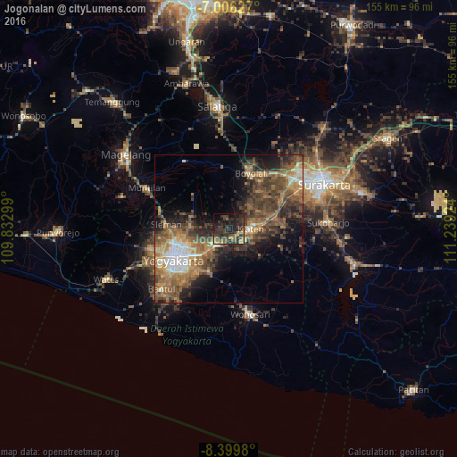
Analysis of Jogonalan night lights 2016
Square area 10x10 km:
 0.21%
0.21%90-99
0%80-89
3.1%70-79
5.99%60-69
3.1%50-59
7.23%40-49
10.12%30-39
20.87%20-29
24.38%10-19
17.56%0-9
7.44%Square area 50x50 km:
2.07%90-99
2.42%80-89
2.22%70-79
3.96%60-69
6.11%50-59
6.91%40-49
7.21%30-39
6.68%20-29
7.63%10-19
9.02%0-9
45.77%Clear (daylight) street map image can be seen on geolist.org.
Map coordinates:
7° 0' 22.6" South, 109° 49' 58.8" East
7° 42' 13" South, 110° 32' 10" East
8° 23' 59.3" South, 111° 14' 21.3" East
Some cities around Jogonalan sort by population:
• Klaten
7.7 km =4.8 mi,  91°
91°
• Depok
13.2 km =8.2 mi,  240°
240°
• Wedi
6.5 km =4 mi,  132°
132°
• Karanganom
11.5 km =7.1 mi,  58°
58°
• Candi Prambanan
6.9 km =4.3 mi,  221°
221°
• Ceper
16.1 km =10 mi,  78°
78°
• Trucuk
13.6 km =8.5 mi,  96°
96°
• Kebonarun
3 km =1.9 mi, 82°
1642437 (p: 28,114)
Sources (retrieved 2019-11-25):
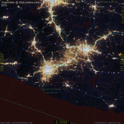
» Earth at Night: Flat Maps 2012, 2016